Area Overview for DY8 3NE
Photos of DY8 3NE
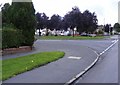
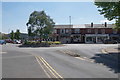
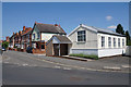
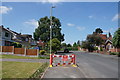
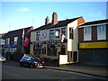
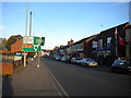
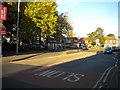
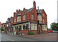
41 photos from this area
Area Information
Key information about the DY8 3NE including its size, population, and administrative classification.
- Area Type
- Postcode
- Area Size
- 1.2 hectares
- Population
- 1477
- Population Density
- 3449 people/km²
House Prices in DY8 3NE
19
Properties
£207,000
Average Sold Price
£25,000
Lowest Price
£397,500
Highest Price
Showing 19 properties
| Address | Type | Beds | Baths | Last Sale Price | Last Sale Date | |
|---|---|---|---|---|---|---|
| 48 High Park Avenue, Wollaston, DY8 3NE | Detached | 3 | 1 | £342,500 | Mar 2024 | |
| 58 High Park Avenue, Wollaston, DY8 3NE | Semi-detached | 3 | 1 | £397,500 | Jun 2022 | |
| 56 High Park Avenue, Wollaston, DY8 3NE | Semi-detached | 3 | 2 | £290,000 | Sep 2018 | |
| 42 High Park Avenue, Wollaston, DY8 3NE | house | - | - | £210,000 | Sep 2012 | |
| 38 High Park Avenue, Wollaston, DY8 3NE | house | 3 | - | £190,000 | Sep 2011 | |
| 46A High Park Avenue, Wollaston, DY8 3NE | Detached | - | - | £265,000 | May 2007 | |
| 54 High Park Avenue, Wollaston, DY8 3NE | Semi-detached | 4 | 2 | £207,000 | Feb 2007 | |
| 40 High Park Avenue, Wollaston, DY8 3NE | Semi-detached | - | - | £115,000 | Dec 2001 | |
| 36 High Park Avenue, Wollaston, DY8 3NE | Semi-detached | - | - | £25,000 | Nov 2001 | |
| 50 High Park Avenue, Wollaston, DY8 3NE | Detached | - | - | £115,000 | May 1997 |
Page 1 of 2
Energy Efficiency in DY8 3NE
Amenities
Schools
| Rank | School | Type | Entry gender | Ages |
|---|
Explore more schools in this area
Go to Schools tabDemographics
Household Size
Two person
most common
Accommodation Type
Houses
most common
Tenure
79
majority
Ethnic Group
White
most common
Religion
N/A
most common
Household Composition
N/A
most common
Age
47
median
Adults (30-64 years)
most common
Household Deprivation
N/A
with no deprivation
NS-SEC
28
in Lower managerial occupations
Explore more demographic insights in this area
Go to Demographics tabPlanning
Planning Constraints
- Flood RiskPremium
- Ramsar Wetland SitesPremium
- Area of Outstanding Natural BeautyPremium
- Protected Nature ReservePremium
- Protected WoodlandPremium