Area Overview for DY8 2JN
Photos of DY8 2JN
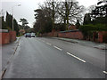
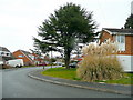

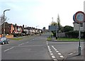
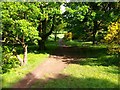
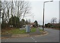
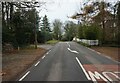
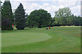
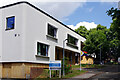
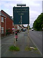
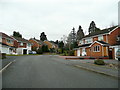
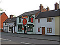
35 photos from this area
Area Information
Key information about the DY8 2JN including its size, population, and administrative classification.
- Area Type
- Postcode
- Area Size
- 6455 m²
- Population
- 1548
- Population Density
- 850 people/km²
House Prices in DY8 2JN
24
Properties
£210,795
Average Sold Price
£51,500
Lowest Price
£517,000
Highest Price
Showing 24 properties
| Address | Type | Beds | Baths | Last Sale Price | Last Sale Date | |
|---|---|---|---|---|---|---|
| 182 Hagley Road, Stourbridge, DY8 2JN | Detached | 4 | 2 | £517,000 | Nov 2023 | |
| 188 Hagley Road, Stourbridge, DY8 2JN | house | - | - | £190,000 | Mar 2022 | |
| 182A Hagley Road, Stourbridge, DY8 2JN | house | 4 | 2 | £452,500 | Nov 2018 | |
| 194 Hagley Road, Stourbridge, DY8 2JN | house | 2 | - | £205,000 | Oct 2018 | |
| 200 Hagley Road, Stourbridge, DY8 2JN | Terraced | 1 | 1 | £140,000 | Sep 2014 | |
| 186 Hagley Road, Stourbridge, DY8 2JN | Terraced | 2 | - | £122,000 | Apr 2014 | |
| 192 Hagley Road, Stourbridge, DY8 2JN | Semi-detached | 2 | 1 | £175,000 | Mar 2014 | |
| 184 Hagley Road, Stourbridge, DY8 2JN | house | - | - | £149,950 | Jul 2007 | |
| 198 Hagley Road, Stourbridge, DY8 2JN | Terraced | - | - | £105,000 | May 2005 | |
| 174 Hagley Road, Stourbridge, DY8 2JN | Detached | - | - | £51,500 | Feb 1996 |
Page 1 of 3
Energy Efficiency in DY8 2JN
Amenities
Schools
| Rank | School | Type | Entry gender | Ages |
|---|
Explore more schools in this area
Go to Schools tabDemographics
Household Size
Two person
most common
Accommodation Type
Houses
most common
Tenure
91
majority
Ethnic Group
White
most common
Religion
N/A
most common
Household Composition
N/A
most common
Age
47
median
Adults (30-64 years)
most common
Household Deprivation
N/A
with no deprivation
NS-SEC
52
in Lower managerial occupations
Explore more demographic insights in this area
Go to Demographics tabPlanning
Planning Constraints
- Flood RiskPremium
- Ramsar Wetland SitesPremium
- Area of Outstanding Natural BeautyPremium
- Protected Nature ReservePremium
- Protected WoodlandPremium