Area Overview for DY8 2AT
Photos of DY8 2AT

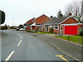
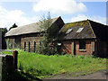
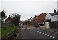
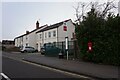
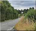
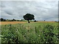
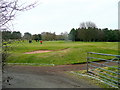
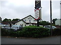

13 photos from this area
Area Information
Key information about the DY8 2AT including its size, population, and administrative classification.
- Area Type
- Postcode
- Area Size
- 8315 m²
- Population
- 1410
- Population Density
- 2106 people/km²
House Prices in DY8 2AT
21
Properties
£244,500
Average Sold Price
£135,000
Lowest Price
£380,000
Highest Price
Showing 21 properties
| Address | Type | Beds | Baths | Last Sale Price | Last Sale Date | |
|---|---|---|---|---|---|---|
| 88 Lea Vale Road, Norton, DY8 2AT | Semi-detached | 3 | - | £380,000 | Nov 2022 | |
| 94 Lea Vale Road, Norton, DY8 2AT | Bungalow | - | - | £330,000 | Jul 2022 | |
| 100 Lea Vale Road, Norton, DY8 2AT | Semi-detached | 2 | 1 | £272,500 | Dec 2021 | |
| 84 Lea Vale Road, Norton, DY8 2AT | house | - | - | £300,000 | May 2021 | |
| 90 Lea Vale Road, Norton, DY8 2AT | Bungalow | - | - | £218,000 | Mar 2018 | |
| 96 Lea Vale Road, Norton, DY8 2AT | Bungalow | - | - | £190,000 | May 2013 | |
| 51 Lea Vale Road, Norton, DY8 2AT | Semi-detached | - | - | £210,000 | Jan 2007 | |
| 37 Lea Vale Road, Norton, DY8 2AT | Semi-detached | - | - | £165,000 | Oct 2003 | |
| 47 Lea Vale Road, Norton, DY8 2AT | Semi-detached | - | - | £135,000 | May 2003 | |
| 45 Lea Vale Road, Norton, DY8 2AT | Semi-detached | - | - | - | - |
Page 1 of 3
Energy Efficiency in DY8 2AT
Amenities
Schools
| Rank | School | Type | Entry gender | Ages |
|---|
Explore more schools in this area
Go to Schools tabDemographics
Household Size
Two person
most common
Accommodation Type
Houses
most common
Tenure
97
majority
Ethnic Group
White
most common
Religion
N/A
most common
Household Composition
N/A
most common
Age
47
median
Adults (30-64 years)
most common
Household Deprivation
N/A
with no deprivation
NS-SEC
46
in Lower managerial occupations
Explore more demographic insights in this area
Go to Demographics tabPlanning
Planning Constraints
- Flood RiskPremium
- Ramsar Wetland SitesPremium
- Area of Outstanding Natural BeautyPremium
- Protected Nature ReservePremium
- Protected WoodlandPremium