Area Overview for DY8 1XF
Photos of DY8 1XF
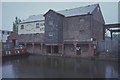
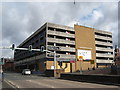
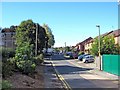
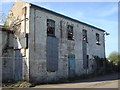
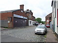
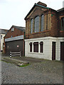
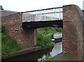
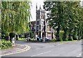
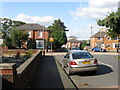
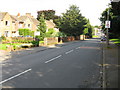
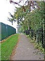
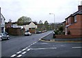
100 photos from this area
Area Information
Key information about the DY8 1XF including its size, population, and administrative classification.
- Area Type
- Postcode
- Area Size
- 1.7 hectares
- Population
- 1696
- Population Density
- 5193 people/km²
House Prices in DY8 1XF
34
Properties
£155,570
Average Sold Price
£104,000
Lowest Price
£235,000
Highest Price
Showing 34 properties
| Address | Type | Beds | Baths | Last Sale Price | Last Sale Date | |
|---|---|---|---|---|---|---|
| 23 Forge Road, Stourbridge, DY8 1XF | Semi-detached | 2 | 1 | £210,000 | Mar 2025 | |
| 19 Forge Road, Stourbridge, DY8 1XF | house | - | - | £200,000 | Mar 2023 | |
| 33 Forge Road, Stourbridge, DY8 1XF | house | 3 | - | £149,250 | Feb 2021 | |
| 13 Forge Road, Stourbridge, DY8 1XF | Semi-detached | 3 | 1 | £124,000 | Nov 2016 | |
| 29 Forge Road, Stourbridge, DY8 1XF | house | - | - | £136,500 | Jun 2016 | |
| Forge Ridge, 2A Forge Road, Stourbridge, DY8 1XF | house | - | - | £127,000 | Oct 2015 | |
| 4 Forge Road, Stourbridge, DY8 1XF | Semi-detached | 3 | 1 | £104,000 | Mar 2013 | |
| 35 Forge Road, Stourbridge, DY8 1XF | Semi-detached | - | - | £137,000 | May 2009 | |
| 2 Forge Road, Stourbridge, DY8 1XF | house | - | - | £235,000 | Mar 2008 | |
| 3 Forge Road, Stourbridge, DY8 1XF | Semi-detached | - | - | £132,950 | Feb 2008 |
Page 1 of 4
Energy Efficiency in DY8 1XF
Amenities
Schools
| Rank | School | Type | Entry gender | Ages |
|---|
Explore more schools in this area
Go to Schools tabDemographics
Household Size
One person
most common
Accommodation Type
Houses
most common
Tenure
42
majority
Ethnic Group
White
most common
Religion
N/A
most common
Household Composition
N/A
most common
Age
47
median
Adults (30-64 years)
most common
Household Deprivation
N/A
with no deprivation
NS-SEC
26
in Lower managerial occupations
Explore more demographic insights in this area
Go to Demographics tabPlanning
Planning Constraints
- Flood RiskPremium
- Ramsar Wetland SitesPremium
- Area of Outstanding Natural BeautyPremium
- Protected Nature ReservePremium
- Protected WoodlandPremium