Area Overview for DY8 1NG
Photos of DY8 1NG
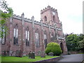
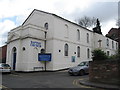

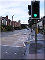
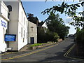
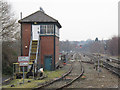
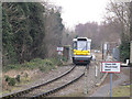
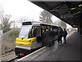
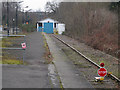

100 photos from this area
Area Information
Key information about the DY8 1NG including its size, population, and administrative classification.
- Area Type
- Postcode
- Area Size
- 8579 m²
- Population
- 1538
- Population Density
- 3025 people/km²
House Prices in DY8 1NG
29
Properties
£157,909
Average Sold Price
£35,000
Lowest Price
£440,000
Highest Price
Showing 29 properties
| Address | Type | Beds | Baths | Last Sale Price | Last Sale Date | |
|---|---|---|---|---|---|---|
| 9, Redhill Court, Red Hill, Oldswinford, DY8 1NG | Flat | 1 | 1 | £115,000 | Oct 2025 | |
| 2, Redhill Court, Red Hill, Oldswinford, DY8 1NG | Flat | 1 | 1 | £112,500 | May 2025 | |
| 57A Red Hill, Oldswinford, DY8 1NG | Detached | 2 | 2 | £345,000 | Aug 2024 | |
| 60 Red Hill, Oldswinford, DY8 1NG | Detached | 3 | 1 | £440,000 | Jan 2023 | |
| 4, Redhill Court, Red Hill, Oldswinford, DY8 1NG | Flat | - | - | £72,000 | Nov 2022 | |
| 3, Redhill Court, Red Hill, Oldswinford, DY8 1NG | Flat | - | - | £80,500 | Feb 2022 | |
| 70 Red Hill, Oldswinford, DY8 1NG | house | - | - | £365,000 | Apr 2021 | |
| 64 Red Hill, Oldswinford, DY8 1NG | Semi-detached | 3 | 1 | £235,000 | Nov 2019 | |
| 6, Redhill Court, Red Hill, Oldswinford, DY8 1NG | Flat | - | - | £117,000 | Aug 2017 | |
| 78 Red Hill, Oldswinford, DY8 1NG | Detached | 4 | 2 | £290,000 | Apr 2017 |
Page 1 of 3
Energy Efficiency in DY8 1NG
Amenities
Schools
| Rank | School | Type | Entry gender | Ages |
|---|
Explore more schools in this area
Go to Schools tabDemographics
Household Size
Two person
most common
Accommodation Type
Houses
most common
Tenure
89
majority
Ethnic Group
White
most common
Religion
N/A
most common
Household Composition
N/A
most common
Age
47
median
Adults (30-64 years)
most common
Household Deprivation
N/A
with no deprivation
NS-SEC
50
in Lower managerial occupations
Explore more demographic insights in this area
Go to Demographics tabPlanning
Planning Constraints
- Flood RiskPremium
- Ramsar Wetland SitesPremium
- Area of Outstanding Natural BeautyPremium
- Protected Nature ReservePremium
- Protected WoodlandPremium