Area Overview for DY7 6NA
Photos of DY7 6NA
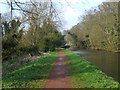
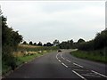
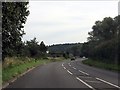
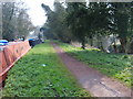
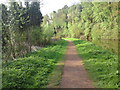
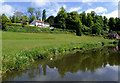
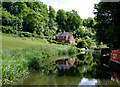
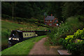
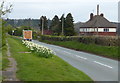
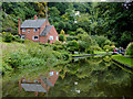
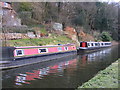
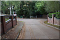
88 photos from this area
Area Information
Key information about the DY7 6NA including its size, population, and administrative classification.
- Area Type
- Postcode
- Area Size
- 2.2 hectares
- Population
- 1458
- Population Density
- 94 people/km²
House Prices in DY7 6NA
16
Properties
£410,707
Average Sold Price
£225,000
Lowest Price
£750,000
Highest Price
Showing 16 properties
| Address | Type | Beds | Baths | Last Sale Price | Last Sale Date | |
|---|---|---|---|---|---|---|
| 16 Dunsley Road, Kinver, DY7 6NA | Detached | 5 | 3 | £750,000 | Sep 2023 | |
| Elandon, 20 Dunsley Road, Kinver, DY7 6NA | house | - | - | £375,000 | Jun 2014 | |
| Gibraltar Lodge, 6 Dunsley Road, Kinver, DY7 6NA | house | - | - | £320,000 | Jul 2010 | |
| Belwood, 10 Dunsley Road, Kinver, DY7 6NA | house | - | - | £405,000 | Sep 2009 | |
| Ambleside, 38 Dunsley Road, Kinver, DY7 6NA | Bungalow | - | - | £399,950 | Aug 2006 | |
| 32 Dunsley Road, Kinver, DY7 6NA | Detached | - | - | £400,000 | May 2006 | |
| Hunters Moon, 34 Dunsley Road, Kinver, DY7 6NA | Detached | - | - | £225,000 | Sep 2001 | |
| Southways, 26 Dunsley Road, Kinver, DY7 6NA | house | - | - | - | - | |
| Dunsmead, 22 Dunsley Road, Kinver, DY7 6NA | house | - | - | - | - | |
| Hunters Croft, 12 Dunsley Road, Kinver, DY7 6NA | Detached | - | - | - | - |
Page 1 of 2
Energy Efficiency in DY7 6NA
Amenities
Schools
| Rank | School | Type | Entry gender | Ages |
|---|
Explore more schools in this area
Go to Schools tabDemographics
Household Size
Two person
most common
Accommodation Type
Houses
most common
Tenure
87
majority
Ethnic Group
White
most common
Religion
N/A
most common
Household Composition
N/A
most common
Age
47
median
Adults (30-64 years)
most common
Household Deprivation
N/A
with no deprivation
NS-SEC
45
in Lower managerial occupations
Explore more demographic insights in this area
Go to Demographics tabPlanning
Planning Constraints
- Flood RiskPremium
- Ramsar Wetland SitesPremium
- Area of Outstanding Natural BeautyPremium
- Protected Nature ReservePremium
- Protected WoodlandPremium