Area Overview for DY7 6EG
Photos of DY7 6EG
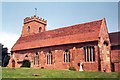
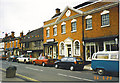
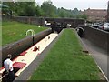
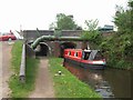
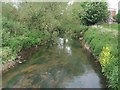
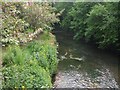
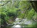
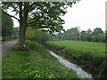
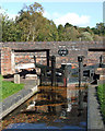
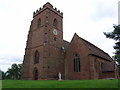
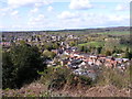
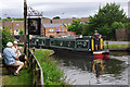
100 photos from this area
Area Information
Key information about the DY7 6EG including its size, population, and administrative classification.
- Area Type
- Postcode
- Area Size
- 1.7 hectares
- Population
- 1164
- Population Density
- 1425 people/km²
House Prices in DY7 6EG
20
Properties
£298,568
Average Sold Price
£135,000
Lowest Price
£652,500
Highest Price
Showing 20 properties
| Address | Type | Beds | Baths | Last Sale Price | Last Sale Date | |
|---|---|---|---|---|---|---|
| The Gables, Stone Lane, Kinver, DY7 6EG | Bungalow | 3 | 2 | £652,500 | Apr 2024 | |
| Cherry Trees, 16A Stone Lane, Kinver, DY7 6EG | Detached | 4 | 2 | £384,000 | Sep 2019 | |
| 18 Stone Lane, Kinver, DY7 6EG | Land | - | - | £348,000 | Apr 2018 | |
| 14A Stone Lane, Kinver, DY7 6EG | house | - | - | £310,000 | Jul 2014 | |
| 12A Stone Lane, Kinver, DY7 6EG | Detached | 4 | 4 | £299,000 | Apr 2014 | |
| 2 Stone Lane, Kinver, DY7 6EG | Detached | - | - | £275,000 | Nov 2011 | |
| Squirrel Lodge, Stone Lane, Kinver, DY7 6EG | Bungalow | - | - | £360,000 | May 2010 | |
| 10A Stone Lane, Kinver, DY7 6EG | house | - | - | £290,000 | Apr 2010 | |
| 8 Stone Lane, Kinver, DY7 6EG | Bungalow | - | - | £178,500 | Feb 2010 | |
| 18A Stone Lane, Kinver, DY7 6EG | house | - | - | £305,000 | Aug 2007 |
Page 1 of 2
Energy Efficiency in DY7 6EG
Amenities
Schools
| Rank | School | Type | Entry gender | Ages |
|---|
Explore more schools in this area
Go to Schools tabDemographics
Household Size
One person
most common
Accommodation Type
Houses
most common
Tenure
66
majority
Ethnic Group
White
most common
Religion
N/A
most common
Household Composition
N/A
most common
Age
47
median
Adults (30-64 years)
most common
Household Deprivation
N/A
with no deprivation
NS-SEC
38
in Lower managerial occupations
Explore more demographic insights in this area
Go to Demographics tabPlanning
Planning Constraints
- Flood RiskPremium
- Ramsar Wetland SitesPremium
- Area of Outstanding Natural BeautyPremium
- Protected Nature ReservePremium
- Protected WoodlandPremium