Area Overview for DY5 4RS
Photos of DY5 4RS
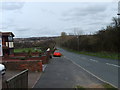
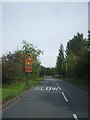

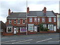
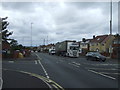
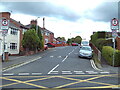
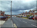
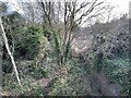
40 photos from this area
Area Information
Key information about the DY5 4RS including its size, population, and administrative classification.
- Area Type
- Postcode
- Area Size
- 1.0 hectares
- Population
- 2372
- Population Density
- 2598 people/km²
House Prices in DY5 4RS
18
Properties
£256,813
Average Sold Price
£62,500
Lowest Price
£470,000
Highest Price
Showing 18 properties
| Address | Type | Beds | Baths | Last Sale Price | Last Sale Date | |
|---|---|---|---|---|---|---|
| 56 High Street, Pensnett, DY5 4RS | house | - | - | £290,000 | Apr 2023 | |
| 36 High Street, Pensnett, DY5 4RS | Detached | 4 | - | £470,000 | Dec 2022 | |
| 34 High Street, Pensnett, DY5 4RS | house | - | - | £255,000 | Dec 2022 | |
| 26 High Street, Pensnett, DY5 4RS | Bungalow | - | - | £235,000 | Jan 2022 | |
| 38 High Street, Pensnett, DY5 4RS | house | - | - | £380,000 | Nov 2021 | |
| 50 High Street, Pensnett, DY5 4RS | Detached | 3 | 1 | £185,000 | Nov 2016 | |
| 28 High Street, Pensnett, DY5 4RS | Bungalow | 3 | - | £177,000 | Sep 2016 | |
| 48 High Street, Pensnett, DY5 4RS | Detached | - | - | £62,500 | Oct 1996 | |
| 44 High Street, Pensnett, DY5 4RS | Detached | 3 | 1 | - | - | |
| 52 High Street, Pensnett, DY5 4RS | Detached | 3 | 2 | - | - |
Page 1 of 2
Energy Efficiency in DY5 4RS
Amenities
Schools
| Rank | School | Type | Entry gender | Ages |
|---|
Explore more schools in this area
Go to Schools tabDemographics
Household Size
Family (3-5 people)
most common
Accommodation Type
Houses
most common
Tenure
82
majority
Ethnic Group
White
most common
Religion
N/A
most common
Household Composition
N/A
most common
Age
47
median
Adults (30-64 years)
most common
Household Deprivation
N/A
with no deprivation
NS-SEC
37
in Lower managerial occupations
Explore more demographic insights in this area
Go to Demographics tabPlanning
Planning Constraints
- Flood RiskPremium
- Ramsar Wetland SitesPremium
- Area of Outstanding Natural BeautyPremium
- Protected Nature ReservePremium
- Protected WoodlandPremium