Area Overview for DY4 0WD
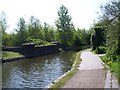
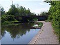
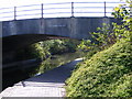
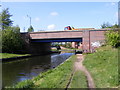
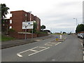
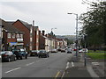
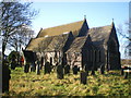
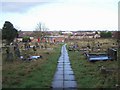
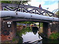
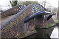
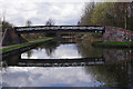
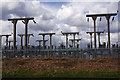
Photos of DY4 0WD
Area Information
Living in DY4 0WD means being part of a tightly knit residential cluster in the heart of Wednesbury, a historic market town in Sandwell, West Midlands. With a population of 2,094 and a density of 1,673 people per square kilometre, this area is compact yet functional, centred around coordinates 52.53184, -2.02456. Historically rooted in medieval industries like coal mining and nail-making, the area has evolved into a modern urban space with a population that reflects its long-standing heritage. Neighbouring areas such as B70 0DY and the broader Wednesbury South Ward offer a mix of local character and practical amenities. The small-scale nature of DY4 0WD means residents often know their neighbours, and daily life is shaped by proximity to essential services, schools, and transport links. While the area lacks sprawling green spaces, its density supports a community-oriented lifestyle, with local shops and public transport options within easy reach. For those seeking a balance between tradition and convenience, DY4 0WD offers a distinct slice of West Midlands living.
- Area Type
- Postcode
- Area Size
- Not available
- Population
- 2094
- Population Density
- 1673 people/km²
The property market in DY4 0WD is shaped by its compact size and focus on houses rather than flats. With 43% of homes owner-occupied, the area is not dominated by rental properties, though a significant portion of the housing stock is likely let out. The prevalence of houses suggests a market geared towards families or individuals seeking more space than a typical flat can offer. Given the small area, property availability is limited, and buyers may need to consider nearby postcode areas for broader options. The mix of ownership and rental properties means competition for homes could be keen, particularly for well-maintained properties. The lack of large-scale developments or new builds implies a static market, where properties retain their character but may not offer modern amenities. For buyers, this means prioritising condition, location, and proximity to schools and transport.
House Prices in DY4 0WD
No properties found in this postcode.
Energy Efficiency in DY4 0WD
Daily life in DY4 0WD is supported by a range of nearby amenities, including five retail outlets such as Spar Tipton and Asda Great, which provide essential shopping and dining options. Public transport hubs like Wednesbury Parkway and Dudley Port Railway Station offer easy access to broader networks, while rail stations such as Tipton and Sandwell & Dudley provide commuter links. The area’s compact nature means these amenities are within practical reach, reducing the need for long journeys. While there are no explicit mentions of parks or leisure facilities in the data, the presence of multiple retail and transport points suggests a functional, convenience-driven lifestyle. Residents benefit from a straightforward mix of services that cater to both daily necessities and broader mobility needs.
Amenities
Schools
Residents of DY4 0WD have access to three primary schools within the area: Harvills Hawthorn Infant and Nursery School, Harvills Hawthorn Junior School, and Harvills Hawthorn Primary School, which holds an Ofsted rating of outstanding. These institutions cater to early years education through primary schooling, providing a continuous educational pathway for families. The presence of a school with an outstanding rating is a strong indicator of quality teaching and resources, which can be a deciding factor for homebuyers prioritising education. The cluster of schools suggests a focus on primary education, though secondary options would require looking beyond the immediate area. For families, the proximity of these schools reduces commuting time and supports a community-centred approach to education.
| Rank | School | Type | Entry gender | Ages |
|---|
Explore more schools in this area
Go to Schools tabDemographics
The community in DY4 0WD is predominantly composed of adults aged 30–64, with a median age of 47. This suggests a mature population, likely with established careers and families. Home ownership rates stand at 43%, indicating a mix of owner-occupied and rental properties. The area is characterised by houses rather than flats, reflecting a preference for single-family dwellings. The predominant ethnic group is White, though specific data on diversity is not provided. The age profile and housing type suggest a stable, long-term resident base, with fewer young families or transient populations. The relatively high proportion of older adults may influence local services and amenities, such as healthcare access and community centres. While deprivation data is not explicitly stated, the moderate population density and presence of essential services imply a functioning, if modest, quality of life.
Household Size
Accommodation Type
Tenure
Ethnic Group
Religion
Household Composition
Age
Household Deprivation
NS-SEC
Explore more demographic insights in this area
Go to Demographics tabPlanning
Planning Constraints
- Flood RiskPremium
- Ramsar Wetland SitesPremium
- Area of Outstanding Natural BeautyPremium
- Protected Nature ReservePremium
- Protected WoodlandPremium