Area Overview for DY4 0SU
Photos of DY4 0SU
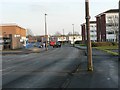
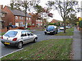
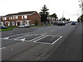
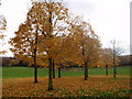
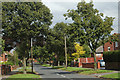
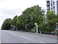
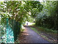
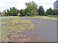
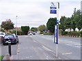
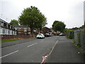
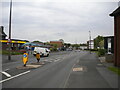
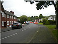
34 photos from this area
Area Information
Key information about the DY4 0SU including its size, population, and administrative classification.
- Area Type
- Postcode
- Area Size
- 2.0 hectares
- Population
- 1650
- Population Density
- 8057 people/km²
House Prices in DY4 0SU
66
Properties
£26,944
Average Sold Price
£10,000
Lowest Price
£110,000
Highest Price
Showing 66 properties
| Address | Type | Beds | Baths | Last Sale Price | Last Sale Date | |
|---|---|---|---|---|---|---|
| 75, Greenlawns, St Marks Road, Tipton, DY4 0SU | Flat | 4 | 4 | £110,000 | Jul 2023 | |
| 71, Greenlawns, St Marks Road, Tipton, DY4 0SU | Flat | - | - | £46,000 | Feb 2015 | |
| 77, Greenlawns, St Marks Road, Tipton, DY4 0SU | Flat | - | - | £34,000 | May 2014 | |
| 69, Greenlawns, St Marks Road, Tipton, DY4 0SU | Flat | - | - | £45,000 | Dec 2012 | |
| 73, Greenlawns, St Marks Road, Tipton, DY4 0SU | Flat | - | - | £15,000 | Jul 2010 | |
| 79, Greenlawns, St Marks Road, Tipton, DY4 0SU | Flat | - | - | £45,000 | Jun 2008 | |
| 61, Greenlawns, St Marks Road, Tipton, DY4 0SU | Flat | - | - | £36,000 | Aug 2006 | |
| 57, Greenlawns, St Marks Road, Tipton, DY4 0SU | Flat | - | - | £21,000 | May 2004 | |
| 95, Greenlawns, St Marks Road, Tipton, DY4 0SU | Flat | - | - | £17,500 | Jan 2003 | |
| 81, Greenlawns, St Marks Road, Tipton, DY4 0SU | Maisonette | - | - | £11,000 | Jun 2002 |
Page 1 of 7
Energy Efficiency in DY4 0SU
Amenities
Schools
| Rank | School | Type | Entry gender | Ages |
|---|
Explore more schools in this area
Go to Schools tabDemographics
Household Size
Family (3-5 people)
most common
Accommodation Type
Houses
most common
Tenure
27
majority
Ethnic Group
White
most common
Religion
N/A
most common
Household Composition
N/A
most common
Age
47
median
Adults (30-64 years)
most common
Household Deprivation
N/A
with no deprivation
NS-SEC
9
in Lower managerial occupations
Explore more demographic insights in this area
Go to Demographics tabPlanning
Planning Constraints
- Flood RiskPremium
- Ramsar Wetland SitesPremium
- Area of Outstanding Natural BeautyPremium
- Protected Nature ReservePremium
- Protected WoodlandPremium