Area Overview for DY3 4PP
Photos of DY3 4PP
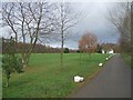
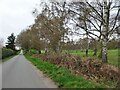
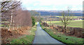
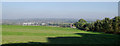
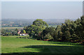
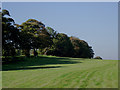
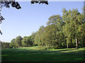
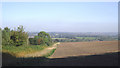
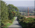
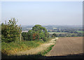
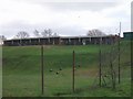
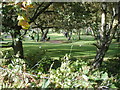
24 photos from this area
Area Information
Key information about the DY3 4PP including its size, population, and administrative classification.
- Area Type
- Postcode
- Area Size
- 1.5 km²
- Population
- 2523
- Population Density
- 150 people/km²
House Prices in DY3 4PP
10
Properties
£468,250
Average Sold Price
£415,000
Lowest Price
£521,500
Highest Price
Showing 10 properties
| Address | Type | Beds | Baths | Last Sale Price | Last Sale Date | |
|---|---|---|---|---|---|---|
| Windrush, New Road, Swindon, DY3 4PP | house | - | - | £521,500 | Jun 2017 | |
| New Road Farmhouse, New Road, Swindon, DY3 4PP | Land | - | - | £415,000 | Sep 2016 | |
| New Lodge, New Road, Swindon, DY3 4PP | Detached | 4 | 2 | - | - | |
| The Paddock, Windrush, New Road, Swindon, DY3 4PP | Mobile Home | - | - | - | - | |
| Inglewood, New Road, Swindon, DY3 4PP | Detached | - | - | - | - | |
| Forest Hills, New Road, Swindon, DY3 4PP | house | - | - | - | - | |
| New Road Farm, New Road, Swindon, DY3 4PP | house | - | - | - | - | |
| The Flat, Karter Farm, New Road, Swindon, DY3 4PP | Flat | - | - | - | - | |
| Blackhill Nurseries, New Road, Swindon, DY3 4PP | shop | - | - | - | - | |
| Msj Healthcare Limited, Karter Farm, New Road, Swindon, DY3 4PP | commercial | - | - | - | - |
Energy Efficiency in DY3 4PP
Amenities
Schools
| Rank | School | Type | Entry gender | Ages |
|---|
Explore more schools in this area
Go to Schools tabDemographics
Household Size
Two person
most common
Accommodation Type
Houses
most common
Tenure
78
majority
Ethnic Group
White
most common
Religion
N/A
most common
Household Composition
N/A
most common
Age
47
median
Adults (30-64 years)
most common
Household Deprivation
N/A
with no deprivation
NS-SEC
36
in Lower managerial occupations
Explore more demographic insights in this area
Go to Demographics tabPlanning
Planning Constraints
- Flood RiskPremium
- Ramsar Wetland SitesPremium
- Area of Outstanding Natural BeautyPremium
- Protected Nature ReservePremium
- Protected WoodlandPremium