Area Overview for DY3 3EG
Photos of DY3 3EG
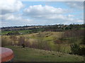
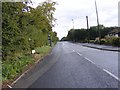
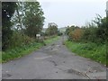
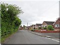
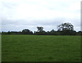
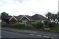
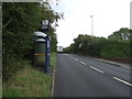
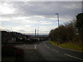
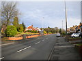
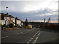
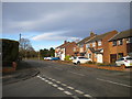
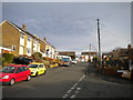
100 photos from this area
Area Information
Key information about the DY3 3EG including its size, population, and administrative classification.
- Area Type
- Postcode
- Area Size
- 2.2 hectares
- Population
- 1396
- Population Density
- 2362 people/km²
House Prices in DY3 3EG
32
Properties
£159,308
Average Sold Price
£50,500
Lowest Price
£350,950
Highest Price
Showing 32 properties
| Address | Type | Beds | Baths | Last Sale Price | Last Sale Date | |
|---|---|---|---|---|---|---|
| 24 Wordsworth Road, Lower Gornal, DY3 3EG | Semi-detached | 3 | 2 | £350,950 | Jul 2025 | |
| 4 Wordsworth Road, Lower Gornal, DY3 3EG | Bungalow | - | - | £255,000 | Nov 2022 | |
| 12 Wordsworth Road, Lower Gornal, DY3 3EG | Retail | 3 | 1 | £220,000 | May 2022 | |
| 19 Wordsworth Road, Lower Gornal, DY3 3EG | Semi-detached | 2 | 1 | £185,000 | Feb 2021 | |
| 8 Wordsworth Road, Lower Gornal, DY3 3EG | Semi-detached | - | - | £230,000 | Dec 2019 | |
| 31 Wordsworth Road, Lower Gornal, DY3 3EG | Bungalow | - | - | £215,000 | Jul 2018 | |
| 2 Wordsworth Road, Lower Gornal, DY3 3EG | Bungalow | 2 | 1 | £215,000 | Aug 2014 | |
| 5 Wordsworth Road, Lower Gornal, DY3 3EG | Semi-detached | 4 | - | £153,000 | Sep 2013 | |
| 23 Wordsworth Road, Lower Gornal, DY3 3EG | Semi-detached | 3 | 1 | £115,000 | May 2013 | |
| 35 Wordsworth Road, Lower Gornal, DY3 3EG | Bungalow | - | - | £160,000 | Aug 2008 |
Page 1 of 4
Energy Efficiency in DY3 3EG
Amenities
Schools
| Rank | School | Type | Entry gender | Ages |
|---|
Explore more schools in this area
Go to Schools tabDemographics
Household Size
Two person
most common
Accommodation Type
Houses
most common
Tenure
91
majority
Ethnic Group
White
most common
Religion
N/A
most common
Household Composition
N/A
most common
Age
47
median
Adults (30-64 years)
most common
Household Deprivation
N/A
with no deprivation
NS-SEC
30
in Lower managerial occupations
Explore more demographic insights in this area
Go to Demographics tabPlanning
Planning Constraints
- Flood RiskPremium
- Ramsar Wetland SitesPremium
- Area of Outstanding Natural BeautyPremium
- Protected Nature ReservePremium
- Protected WoodlandPremium