Area Overview for DY3 2PR
Photos of DY3 2PR
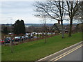
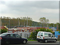
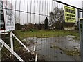
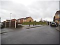
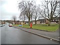
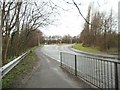
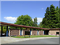
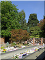
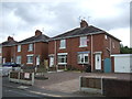
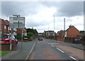
65 photos from this area
Area Information
Key information about the DY3 2PR including its size, population, and administrative classification.
- Area Type
- Postcode
- Area Size
- 1.8 hectares
- Population
- 1480
- Population Density
- 2056 people/km²
House Prices in DY3 2PR
40
Properties
£146,844
Average Sold Price
£44,000
Lowest Price
£250,000
Highest Price
Showing 40 properties
| Address | Type | Beds | Baths | Last Sale Price | Last Sale Date | |
|---|---|---|---|---|---|---|
| 68 Grosvenor Road, Lower Gornal, DY3 2PR | Bungalow | 2 | 1 | £150,000 | Apr 2025 | |
| 52 Grosvenor Road, Lower Gornal, DY3 2PR | Bungalow | 2 | 1 | £250,000 | Jul 2024 | |
| 58 Grosvenor Road, Lower Gornal, DY3 2PR | Bungalow | 3 | 1 | £241,000 | Oct 2023 | |
| 42 Grosvenor Road, Lower Gornal, DY3 2PR | Bungalow | 3 | 1 | £205,000 | Feb 2023 | |
| 82 Grosvenor Road, Lower Gornal, DY3 2PR | Semi-detached | 3 | 1 | £90,000 | Jan 2023 | |
| 46 Grosvenor Road, Lower Gornal, DY3 2PR | Bungalow | 2 | 1 | £185,000 | Oct 2022 | |
| 44 Grosvenor Road, Lower Gornal, DY3 2PR | Bungalow | 3 | 1 | £215,000 | Mar 2022 | |
| 36 Grosvenor Road, Lower Gornal, DY3 2PR | Detached | 4 | 2 | £215,000 | Aug 2016 | |
| 38 Grosvenor Road, Lower Gornal, DY3 2PR | Bungalow | 3 | 1 | £100,000 | Jun 2016 | |
| 50 Grosvenor Road, Lower Gornal, DY3 2PR | Bungalow | 3 | 2 | £126,000 | Dec 2015 |
Page 1 of 4
Energy Efficiency in DY3 2PR
Amenities
Schools
| Rank | School | Type | Entry gender | Ages |
|---|
Explore more schools in this area
Go to Schools tabDemographics
Household Size
Family (3-5 people)
most common
Accommodation Type
Houses
most common
Tenure
92
majority
Ethnic Group
White
most common
Religion
N/A
most common
Household Composition
N/A
most common
Age
47
median
Adults (30-64 years)
most common
Household Deprivation
N/A
with no deprivation
NS-SEC
39
in Lower managerial occupations
Explore more demographic insights in this area
Go to Demographics tabPlanning
Planning Constraints
- Flood RiskPremium
- Ramsar Wetland SitesPremium
- Area of Outstanding Natural BeautyPremium
- Protected Nature ReservePremium
- Protected WoodlandPremium