Area Overview for DY2 7TR
Photos of DY2 7TR

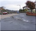
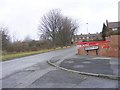
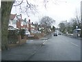
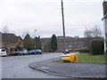
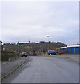
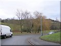
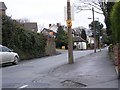
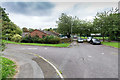
38 photos from this area
Area Information
Key information about the DY2 7TR including its size, population, and administrative classification.
- Area Type
- Postcode
- Area Size
- 1.1 hectares
- Population
- 1767
- Population Density
- 5052 people/km²
House Prices in DY2 7TR
16
Properties
£271,063
Average Sold Price
£94,750
Lowest Price
£482,500
Highest Price
Showing 16 properties
| Address | Type | Beds | Baths | Last Sale Price | Last Sale Date | |
|---|---|---|---|---|---|---|
| 5 Hillman Drive, Dudley, DY2 7TR | Detached | 4 | 2 | £370,000 | Mar 2025 | |
| 24 Hillman Drive, Dudley, DY2 7TR | Detached | 4 | - | £482,500 | Jul 2023 | |
| 3 Hillman Drive, Dudley, DY2 7TR | house | - | - | £330,000 | Jun 2021 | |
| 14 Hillman Drive, Dudley, DY2 7TR | Detached | 4 | - | £286,000 | Jan 2020 | |
| 20 Hillman Drive, Dudley, DY2 7TR | Detached | 4 | 1 | £247,500 | Oct 2016 | |
| 18 Hillman Drive, Dudley, DY2 7TR | house | - | - | £240,000 | Aug 2015 | |
| 6 Hillman Drive, Dudley, DY2 7TR | Detached | 4 | 2 | £225,000 | Jan 2012 | |
| 22 Hillman Drive, Dudley, DY2 7TR | Detached | - | - | £305,000 | Nov 2011 | |
| 10 Hillman Drive, Dudley, DY2 7TR | Detached | - | - | £235,000 | Aug 2007 | |
| 12 Hillman Drive, Dudley, DY2 7TR | Detached | 4 | 1 | £217,000 | Nov 2006 |
Page 1 of 2
Energy Efficiency in DY2 7TR
Amenities
Schools
| Rank | School | Type | Entry gender | Ages |
|---|
Explore more schools in this area
Go to Schools tabDemographics
Household Size
Family (3-5 people)
most common
Accommodation Type
Houses
most common
Tenure
70
majority
Ethnic Group
White
most common
Religion
N/A
most common
Household Composition
N/A
most common
Age
47
median
Adults (30-64 years)
most common
Household Deprivation
N/A
with no deprivation
NS-SEC
29
in Lower managerial occupations
Explore more demographic insights in this area
Go to Demographics tabPlanning
Planning Constraints
- Flood RiskPremium
- Ramsar Wetland SitesPremium
- Area of Outstanding Natural BeautyPremium
- Protected Nature ReservePremium
- Protected WoodlandPremium