Area Overview for DY2 7TH
Photos of DY2 7TH
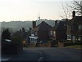
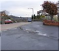
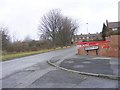
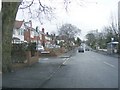
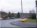
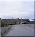
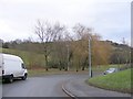
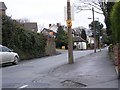
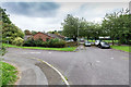
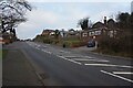
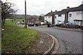
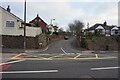
38 photos from this area
Area Information
Key information about the DY2 7TH including its size, population, and administrative classification.
- Area Type
- Postcode
- Area Size
- 1.8 hectares
- Population
- 1713
- Population Density
- 5274 people/km²
House Prices in DY2 7TH
27
Properties
£233,761
Average Sold Price
£67,000
Lowest Price
£595,000
Highest Price
Showing 27 properties
| Address | Type | Beds | Baths | Last Sale Price | Last Sale Date | |
|---|---|---|---|---|---|---|
| 69 Oakham Road, Dudley, DY2 7TH | Retail | 4 | 1 | £595,000 | Oct 2022 | |
| 111 Oakham Road, Dudley, DY2 7TH | Detached | 4 | 2 | £305,400 | Jun 2021 | |
| 107 Oakham Road, Dudley, DY2 7TH | Semi-detached | 4 | 2 | £352,500 | Jun 2021 | |
| 117 Oakham Road, Dudley, DY2 7TH | house | - | - | £220,000 | Dec 2020 | |
| 89 Oakham Road, Dudley, DY2 7TH | house | 3 | - | £350,000 | Oct 2020 | |
| 61A Oakham Road, Dudley, DY2 7TH | house | 4 | - | £315,000 | Oct 2017 | |
| 67 Oakham Road, Dudley, DY2 7TH | Detached | - | - | £290,000 | Dec 2012 | |
| 95 Oakham Road, Dudley, DY2 7TH | house | - | - | £188,500 | Aug 2012 | |
| 71 Oakham Road, Dudley, DY2 7TH | Semi-detached | - | - | £225,000 | Apr 2008 | |
| 73 Oakham Road, Dudley, DY2 7TH | Semi-detached | - | - | £217,500 | Sep 2007 |
Page 1 of 3
Energy Efficiency in DY2 7TH
Amenities
Schools
| Rank | School | Type | Entry gender | Ages |
|---|
Explore more schools in this area
Go to Schools tabDemographics
Household Size
Two person
most common
Accommodation Type
Houses
most common
Tenure
62
majority
Ethnic Group
White
most common
Religion
N/A
most common
Household Composition
N/A
most common
Age
47
median
Adults (30-64 years)
most common
Household Deprivation
N/A
with no deprivation
NS-SEC
25
in Lower managerial occupations
Explore more demographic insights in this area
Go to Demographics tabPlanning
Planning Constraints
- Flood RiskPremium
- Ramsar Wetland SitesPremium
- Area of Outstanding Natural BeautyPremium
- Protected Nature ReservePremium
- Protected WoodlandPremium