Area Overview for DY2 7RF
Photos of DY2 7RF
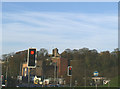
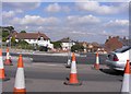
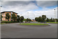
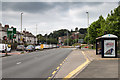
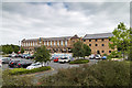
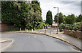
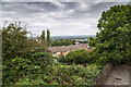
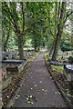
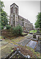
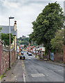
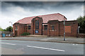
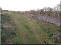
98 photos from this area
Area Information
Key information about the DY2 7RF including its size, population, and administrative classification.
- Area Type
- Postcode
- Area Size
- 4570 m²
- Population
- 1866
- Population Density
- 7736 people/km²
House Prices in DY2 7RF
18
Properties
£125,000
Average Sold Price
£56,000
Lowest Price
£204,000
Highest Price
Showing 18 properties
| Address | Type | Beds | Baths | Last Sale Price | Last Sale Date | |
|---|---|---|---|---|---|---|
| 88 Bunns Lane, Dudley, DY2 7RF | Terraced | 3 | 1 | £204,000 | Sep 2023 | |
| 98 Bunns Lane, Dudley, DY2 7RF | Retail | 3 | 1 | £170,000 | Apr 2022 | |
| 94 Bunns Lane, Dudley, DY2 7RF | Terraced | 3 | 1 | £90,000 | Jan 2011 | |
| 106 Bunns Lane, Dudley, DY2 7RF | house | 3 | 1 | £120,000 | Sep 2010 | |
| 100 Bunns Lane, Dudley, DY2 7RF | house | - | - | £110,000 | Oct 2007 | |
| 114 Bunns Lane, Dudley, DY2 7RF | house | - | - | £56,000 | Mar 2003 | |
| 90 Bunns Lane, Dudley, DY2 7RF | Terraced | 3 | 1 | - | - | |
| 122 Bunns Lane, Dudley, DY2 7RF | Terraced | 3 | 2 | - | - | |
| 92 Bunns Lane, Dudley, DY2 7RF | Terraced | 3 | 1 | - | - | |
| 112 Bunns Lane, Dudley, DY2 7RF | house | - | - | - | - |
Page 1 of 2
Energy Efficiency in DY2 7RF
Amenities
Schools
| Rank | School | Type | Entry gender | Ages |
|---|
Explore more schools in this area
Go to Schools tabDemographics
Household Size
Family (3-5 people)
most common
Accommodation Type
Houses
most common
Tenure
50
majority
Ethnic Group
White
most common
Religion
N/A
most common
Household Composition
N/A
most common
Age
47
median
Adults (30-64 years)
most common
Household Deprivation
N/A
with no deprivation
NS-SEC
16
in Lower managerial occupations
Explore more demographic insights in this area
Go to Demographics tabPlanning
Planning Constraints
- Flood RiskPremium
- Ramsar Wetland SitesPremium
- Area of Outstanding Natural BeautyPremium
- Protected Nature ReservePremium
- Protected WoodlandPremium