Area Overview for DY2 7QA
Photos of DY2 7QA
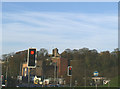
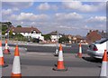
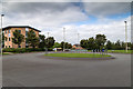
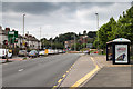
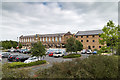
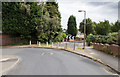
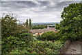
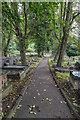
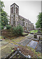
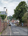
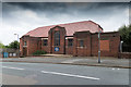
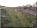
98 photos from this area
Area Information
Key information about the DY2 7QA including its size, population, and administrative classification.
- Area Type
- Postcode
- Area Size
- 1.8 hectares
- Population
- 1910
- Population Density
- 7541 people/km²
House Prices in DY2 7QA
34
Properties
£109,938
Average Sold Price
£77,500
Lowest Price
£165,000
Highest Price
Showing 34 properties
| Address | Type | Beds | Baths | Last Sale Price | Last Sale Date | |
|---|---|---|---|---|---|---|
| 39 Beechwood Road, Dudley, DY2 7QA | Semi-detached | 2 | 1 | £145,000 | Jul 2024 | |
| 53 Beechwood Road, Dudley, DY2 7QA | Terraced | 3 | 1 | £165,000 | Dec 2023 | |
| 1 Beechwood Road, Dudley, DY2 7QA | house | - | - | £110,000 | Aug 2021 | |
| 25 Beechwood Road, Dudley, DY2 7QA | Semi-detached | 2 | 1 | £121,000 | Feb 2020 | |
| 57 Beechwood Road, Dudley, DY2 7QA | Semi-detached | 2 | - | £80,000 | Oct 2015 | |
| 55 Beechwood Road, Dudley, DY2 7QA | Terraced | - | - | £81,000 | May 2008 | |
| 59 Beechwood Road, Dudley, DY2 7QA | house | 2 | - | £100,000 | May 2008 | |
| 45 Beechwood Road, Dudley, DY2 7QA | house | - | - | £77,500 | Nov 2004 | |
| Brewery Fields Recreation Ground, Corporation Road, Dudley, DY2 7QA | Leisure | - | - | - | - | |
| Beechwood Primary School, Beechwood House, Beechwood Road, Dudley, DY2 7QA | house | - | - | - | - |
Page 1 of 4
Energy Efficiency in DY2 7QA
Amenities
Schools
| Rank | School | Type | Entry gender | Ages |
|---|
Explore more schools in this area
Go to Schools tabDemographics
Household Size
Family (3-5 people)
most common
Accommodation Type
Houses
most common
Tenure
35
majority
Ethnic Group
White
most common
Religion
N/A
most common
Household Composition
N/A
most common
Age
47
median
Adults (30-64 years)
most common
Household Deprivation
N/A
with no deprivation
NS-SEC
12
in Lower managerial occupations
Explore more demographic insights in this area
Go to Demographics tabPlanning
Planning Constraints
- Flood RiskPremium
- Ramsar Wetland SitesPremium
- Area of Outstanding Natural BeautyPremium
- Protected Nature ReservePremium
- Protected WoodlandPremium