Area Overview for DY14 8HG
Photos of DY14 8HG
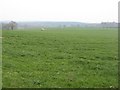
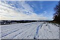
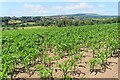
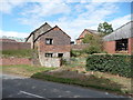
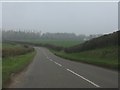
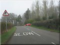
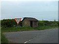
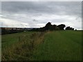
17 photos from this area
Area Information
Key information about the DY14 8HG including its size, population, and administrative classification.
- Area Type
- Postcode
- Area Size
- 39.0 hectares
- Population
- 2093
- Population Density
- 67 people/km²
House Prices in DY14 8HG
3
Properties
£238,167
Average Sold Price
£82,000
Lowest Price
£457,500
Highest Price
Showing 3 properties
| Address | Type | Beds | Baths | Last Sale Price | Last Sale Date | |
|---|---|---|---|---|---|---|
| Harvest Edge, B 4201 From Former Bridgnorth District Council Boundary To B 4363 Junction, Neen Savage, Cleobury Mortimer, DY14 8HG | Bungalow | 5 | - | £457,500 | Aug 2023 | |
| Hillfields, B 4201 From Former Bridgnorth District Council Boundary To B 4363 Junction, Neen Savage, Cleobury Mortimer, DY14 8HG | Bungalow | - | - | £175,000 | Jun 2017 | |
| Wyre Common Cottage, B 4201 From Former Bridgnorth District Council Boundary To B 4363 Junction, Neen Savage, Cleobury Mortimer, DY14 8HG | Detached | - | - | £82,000 | Mar 1999 |
Energy Efficiency in DY14 8HG
Amenities
Schools
| Rank | School | Type | Entry gender | Ages |
|---|
Explore more schools in this area
Go to Schools tabDemographics
Household Size
Two person
most common
Accommodation Type
Houses
most common
Tenure
79
majority
Ethnic Group
White
most common
Religion
N/A
most common
Household Composition
N/A
most common
Age
47
median
Adults (30-64 years)
most common
Household Deprivation
N/A
with no deprivation
NS-SEC
37
in Lower managerial occupations
Explore more demographic insights in this area
Go to Demographics tabPlanning
Planning Constraints
- Flood RiskPremium
- Ramsar Wetland SitesPremium
- Area of Outstanding Natural BeautyPremium
- Protected Nature ReservePremium
- Protected WoodlandPremium