Area Overview for DY13 9TA
Photos of DY13 9TA
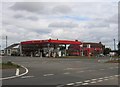
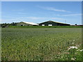
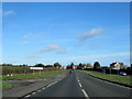
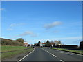
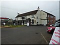
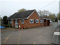
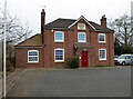
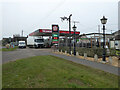
32 photos from this area
Area Information
Key information about the DY13 9TA including its size, population, and administrative classification.
- Area Type
- Postcode
- Area Size
- 54.5 hectares
- Population
- 2466
- Population Density
- 78 people/km²
House Prices in DY13 9TA
28
Properties
£465,265
Average Sold Price
£275,000
Lowest Price
£1,070,000
Highest Price
Showing 28 properties
| Address | Type | Beds | Baths | Last Sale Price | Last Sale Date | |
|---|---|---|---|---|---|---|
| New Bungalow, Sytchampton Lane, Sytchampton, Ombersley, DY13 9TA | Detached | 5 | 4 | £1,070,000 | Apr 2025 | |
| Toms Cottage, Sytchampton Lane, Sytchampton, Ombersley, DY13 9TA | Detached | 3 | 1 | £495,000 | Mar 2021 | |
| Silver Birches, Sytchampton Lane, Sytchampton, Ombersley, DY13 9TA | Bungalow | - | - | £599,950 | Aug 2020 | |
| Philomel, Sytchampton Lane, Sytchampton, Ombersley, DY13 9TA | Detached | 2 | 1 | £300,000 | Dec 2017 | |
| Byeways, Sytchampton Lane, Sytchampton, Ombersley, DY13 9TA | Detached | 5 | - | £546,000 | Mar 2016 | |
| The Cottage, Sytchampton Lane, Sytchampton, Ombersley, DY13 9TA | Cottage | 3 | - | £280,000 | Sep 2015 | |
| The Grove House, Sytchampton Lane, Sytchampton, Ombersley, DY13 9TA | Detached | 5 | - | £400,000 | Aug 2015 | |
| Fox Denton House, Sytchampton Lane, Sytchampton, Ombersley, DY13 9TA | house | - | - | £520,000 | May 2015 | |
| Lyndene, Sytchampton Lane, Sytchampton, Ombersley, DY13 9TA | house | - | - | £387,500 | Aug 2011 | |
| Overclose, Sytchampton Lane, Sytchampton, Ombersley, DY13 9TA | house | - | - | £350,000 | Jun 2011 |
Page 1 of 3
Energy Efficiency in DY13 9TA
Amenities
Schools
| Rank | School | Type | Entry gender | Ages |
|---|
Explore more schools in this area
Go to Schools tabDemographics
Household Size
Two person
most common
Accommodation Type
Houses
most common
Tenure
78
majority
Ethnic Group
White
most common
Religion
N/A
most common
Household Composition
N/A
most common
Age
47
median
Adults (30-64 years)
most common
Household Deprivation
N/A
with no deprivation
NS-SEC
40
in Lower managerial occupations
Explore more demographic insights in this area
Go to Demographics tabPlanning
Planning Constraints
- Flood RiskPremium
- Ramsar Wetland SitesPremium
- Area of Outstanding Natural BeautyPremium
- Protected Nature ReservePremium
- Protected WoodlandPremium