Area Overview for DY12 2QE
Photos of DY12 2QE
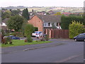
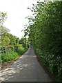
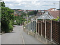
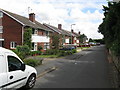
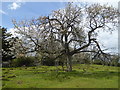
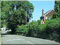
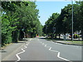
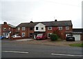
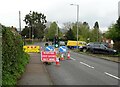
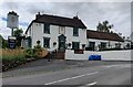
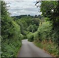
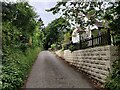
19 photos from this area
Area Information
Key information about the DY12 2QE including its size, population, and administrative classification.
- Area Type
- Postcode
- Area Size
- 7118 m²
- Population
- 1527
- Population Density
- 2907 people/km²
House Prices in DY12 2QE
10
Properties
£239,000
Average Sold Price
£166,500
Lowest Price
£305,000
Highest Price
Showing 10 properties
| Address | Type | Beds | Baths | Last Sale Price | Last Sale Date | |
|---|---|---|---|---|---|---|
| 106 Cleobury Road, Bewdley, DY12 2QE | Semi-detached | 2 | 1 | £250,000 | Jun 2024 | |
| 107 Cleobury Road, Bewdley, DY12 2QE | Retail | 4 | 2 | £305,000 | Apr 2022 | |
| Tiber House, Cleobury Road, Bewdley, DY12 2QE | Detached | - | - | £300,000 | Jan 2016 | |
| 102 Cleobury Road, Bewdley, DY12 2QE | Semi-detached | - | - | £166,500 | Sep 2008 | |
| 105 Cleobury Road, Bewdley, DY12 2QE | Semi-detached | - | - | £173,500 | Jul 2004 | |
| Former Phoenix House, Cleobury Road, Bewdley, DY12 2QE | Semi-detached | 4 | 3 | - | - | |
| 101 Cleobury Road, Bewdley, DY12 2QE | Semi-detached | - | - | - | - | |
| 103 Cleobury Road, Bewdley, DY12 2QE | Semi-detached | - | - | - | - | |
| 108 Cleobury Road, Bewdley, DY12 2QE | Semi-detached | - | - | - | - | |
| 104 Cleobury Road, Bewdley, DY12 2QE | Semi-detached | - | - | - | - |
Energy Efficiency in DY12 2QE
Amenities
Schools
| Rank | School | Type | Entry gender | Ages |
|---|
Explore more schools in this area
Go to Schools tabDemographics
Household Size
Two person
most common
Accommodation Type
Houses
most common
Tenure
84
majority
Ethnic Group
White
most common
Religion
N/A
most common
Household Composition
N/A
most common
Age
47
median
Adults (30-64 years)
most common
Household Deprivation
N/A
with no deprivation
NS-SEC
33
in Lower managerial occupations
Explore more demographic insights in this area
Go to Demographics tabPlanning
Planning Constraints
- Flood RiskPremium
- Ramsar Wetland SitesPremium
- Area of Outstanding Natural BeautyPremium
- Protected Nature ReservePremium
- Protected WoodlandPremium