Area Overview for DY11 6ES
Photos of DY11 6ES
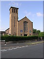
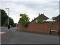
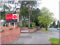
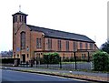
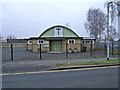
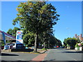
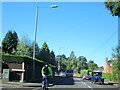
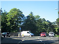
54 photos from this area
Area Information
Key information about the DY11 6ES including its size, population, and administrative classification.
- Area Type
- Postcode
- Area Size
- 8422 m²
- Population
- 1820
- Population Density
- 6850 people/km²
House Prices in DY11 6ES
26
Properties
£128,717
Average Sold Price
£50,000
Lowest Price
£207,000
Highest Price
Showing 26 properties
| Address | Type | Beds | Baths | Last Sale Price | Last Sale Date | |
|---|---|---|---|---|---|---|
| 38 Cathedral Avenue, Kidderminster, DY11 6ES | Semi-detached | 3 | 1 | £175,000 | Jul 2024 | |
| 47 Cathedral Avenue, Kidderminster, DY11 6ES | Terraced | 3 | 1 | £207,000 | Jan 2023 | |
| 51 Cathedral Avenue, Kidderminster, DY11 6ES | house | - | - | £145,000 | Jun 2021 | |
| 49 Cathedral Avenue, Kidderminster, DY11 6ES | Terraced | 3 | 1 | £153,000 | Oct 2020 | |
| 35 Cathedral Avenue, Kidderminster, DY11 6ES | Terraced | 3 | 1 | £127,500 | Mar 2019 | |
| 53 Cathedral Avenue, Kidderminster, DY11 6ES | house | - | - | £119,000 | Jun 2016 | |
| 34 Cathedral Avenue, Kidderminster, DY11 6ES | Terraced | - | - | £125,000 | Jun 2007 | |
| 19 Cathedral Avenue, Kidderminster, DY11 6ES | Terraced | - | - | £50,000 | Nov 2004 | |
| 36 Cathedral Avenue, Kidderminster, DY11 6ES | Terraced | - | - | £56,950 | Sep 2000 | |
| 37 Cathedral Avenue, Kidderminster, DY11 6ES | Terraced | 2 | 1 | - | - |
Page 1 of 3
Energy Efficiency in DY11 6ES
Amenities
Schools
| Rank | School | Type | Entry gender | Ages |
|---|
Explore more schools in this area
Go to Schools tabDemographics
Household Size
One person
most common
Accommodation Type
Houses
most common
Tenure
42
majority
Ethnic Group
White
most common
Religion
N/A
most common
Household Composition
N/A
most common
Age
47
median
Adults (30-64 years)
most common
Household Deprivation
N/A
with no deprivation
NS-SEC
16
in Lower managerial occupations
Explore more demographic insights in this area
Go to Demographics tabPlanning
Planning Constraints
- Flood RiskPremium
- Ramsar Wetland SitesPremium
- Area of Outstanding Natural BeautyPremium
- Protected Nature ReservePremium
- Protected WoodlandPremium