Area Overview for DY11 6AP
Photos of DY11 6AP
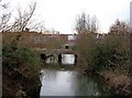
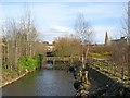
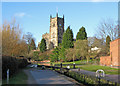
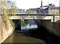
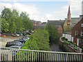
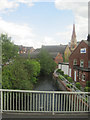
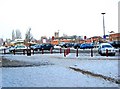
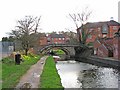
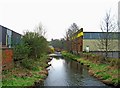
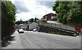
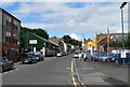
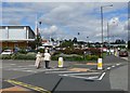
100 photos from this area
Area Information
Key information about the DY11 6AP including its size, population, and administrative classification.
- Area Type
- Postcode
- Area Size
- 6.2 hectares
- Population
- 1800
- Population Density
- 3966 people/km²
House Prices in DY11 6AP
37
Properties
£365,500
Average Sold Price
£115,000
Lowest Price
£570,000
Highest Price
Showing 37 properties
| Address | Type | Beds | Baths | Last Sale Price | Last Sale Date | |
|---|---|---|---|---|---|---|
| 24 Blakebrook, Kidderminster, DY11 6AP | Detached | 4 | 2 | £570,000 | Oct 2025 | |
| 28 Blakebrook, Kidderminster, DY11 6AP | Detached | 4 | 1 | £400,000 | Aug 2025 | |
| 27 Blakebrook, Kidderminster, DY11 6AP | house | - | - | £295,000 | Mar 2025 | |
| 20 Blakebrook, Kidderminster, DY11 6AP | Semi-detached | 4 | - | £515,000 | Jun 2021 | |
| 10 Blakebrook, Kidderminster, DY11 6AP | house | - | - | £460,000 | Jan 2018 | |
| 6 Blakebrook, Kidderminster, DY11 6AP | Semi-detached | - | - | £465,000 | Nov 2015 | |
| 17 Blakebrook, Kidderminster, DY11 6AP | Semi-detached | 6 | - | £500,000 | Nov 2014 | |
| 22 Blakebrook, Kidderminster, DY11 6AP | Terraced | 6 | 3 | £485,000 | Sep 2010 | |
| 14 Blakebrook, Kidderminster, DY11 6AP | house | - | - | £350,000 | Aug 2010 | |
| 7 Blakebrook, Kidderminster, DY11 6AP | house | 4 | - | £333,500 | Aug 2006 |
Page 1 of 4
Energy Efficiency in DY11 6AP
Amenities
Schools
| Rank | School | Type | Entry gender | Ages |
|---|
Explore more schools in this area
Go to Schools tabDemographics
Household Size
One person
most common
Accommodation Type
Houses
most common
Tenure
65
majority
Ethnic Group
White
most common
Religion
N/A
most common
Household Composition
N/A
most common
Age
47
median
Adults (30-64 years)
most common
Household Deprivation
N/A
with no deprivation
NS-SEC
27
in Lower managerial occupations
Explore more demographic insights in this area
Go to Demographics tabPlanning
Planning Constraints
- Flood RiskPremium
- Ramsar Wetland SitesPremium
- Area of Outstanding Natural BeautyPremium
- Protected Nature ReservePremium
- Protected WoodlandPremium