Area Overview for DY10 4SY
Photos of DY10 4SY
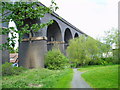
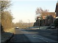
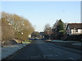
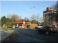
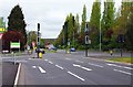
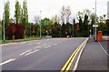
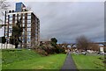
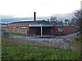
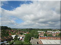
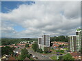
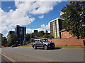

81 photos from this area
Area Information
Key information about the DY10 4SY including its size, population, and administrative classification.
- Area Type
- Postcode
- Area Size
- 2.1 hectares
- Population
- 1231
- Population Density
- 930 people/km²
House Prices in DY10 4SY
53
Properties
£159,597
Average Sold Price
£14,400
Lowest Price
£374,000
Highest Price
Showing 53 properties
| Address | Type | Beds | Baths | Last Sale Price | Last Sale Date | |
|---|---|---|---|---|---|---|
| 34 Chaffinch Drive, Kidderminster, DY10 4SY | Detached | 3 | 1 | £257,000 | Apr 2025 | |
| 68 Chaffinch Drive, Kidderminster, DY10 4SY | Detached | 4 | 2 | £374,000 | Mar 2025 | |
| 98 Chaffinch Drive, Kidderminster, DY10 4SY | Retail | 3 | 1 | £240,000 | Dec 2022 | |
| 99 Chaffinch Drive, Kidderminster, DY10 4SY | Detached | 3 | - | £251,000 | May 2022 | |
| 72 Chaffinch Drive, Kidderminster, DY10 4SY | house | - | - | £233,000 | May 2021 | |
| 86 Chaffinch Drive, Kidderminster, DY10 4SY | Detached | 3 | 2 | £217,500 | Aug 2020 | |
| 36 Chaffinch Drive, Kidderminster, DY10 4SY | Detached | 3 | 1 | £195,000 | Nov 2019 | |
| 102 Chaffinch Drive, Kidderminster, DY10 4SY | Detached | 3 | 1 | £175,000 | Aug 2019 | |
| 96 Chaffinch Drive, Kidderminster, DY10 4SY | Detached | 3 | 1 | £210,000 | Aug 2018 | |
| 74 Chaffinch Drive, Kidderminster, DY10 4SY | Detached | 3 | 1 | £208,000 | Jul 2018 |
Page 1 of 6
Energy Efficiency in DY10 4SY
Amenities
Schools
| Rank | School | Type | Entry gender | Ages |
|---|
Explore more schools in this area
Go to Schools tabDemographics
Household Size
Two person
most common
Accommodation Type
Houses
most common
Tenure
85
majority
Ethnic Group
White
most common
Religion
N/A
most common
Household Composition
N/A
most common
Age
47
median
Adults (30-64 years)
most common
Household Deprivation
N/A
with no deprivation
NS-SEC
37
in Lower managerial occupations
Explore more demographic insights in this area
Go to Demographics tabPlanning
Planning Constraints
- Flood RiskPremium
- Ramsar Wetland SitesPremium
- Area of Outstanding Natural BeautyPremium
- Protected Nature ReservePremium
- Protected WoodlandPremium