Area Overview for DY10 4HD
Photos of DY10 4HD
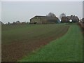
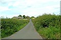
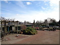
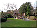
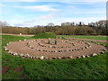
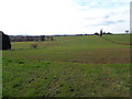
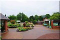
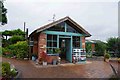

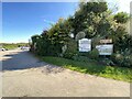

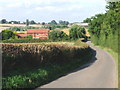
20 photos from this area
Area Information
Key information about the DY10 4HD including its size, population, and administrative classification.
- Area Type
- Postcode
- Area Size
- 87.3 hectares
- Population
- 1647
- Population Density
- 218 people/km²
House Prices in DY10 4HD
26
Properties
£325,929
Average Sold Price
£230,000
Lowest Price
£450,000
Highest Price
Showing 26 properties
| Address | Type | Beds | Baths | Last Sale Price | Last Sale Date | |
|---|---|---|---|---|---|---|
| Whitlenge Farm, Whitlenge Lane, Hartlebury, DY10 4HD | Semi-detached | - | - | £450,000 | May 2017 | |
| The Stables, Whitlenge Lane, Hartlebury, DY10 4HD | Bungalow | 3 | 2 | £336,000 | Mar 2017 | |
| Coach House, Whitlenge Lane, Hartlebury, DY10 4HD | Flat | - | - | £310,000 | Oct 2016 | |
| Whitlenge Barn, Whitlenge Lane, Hartlebury, DY10 4HD | house | - | - | £230,000 | Jan 2016 | |
| West Barn, Whitlenge Lane, Hartlebury, DY10 4HD | house | - | - | £288,000 | Mar 2012 | |
| Brook House, Whitlenge Lane, Hartlebury, DY10 4HD | Detached | - | - | £430,000 | Jul 2008 | |
| North Wing, Whitlenge Lane, Hartlebury, DY10 4HD | Terraced | - | - | £237,500 | Apr 2005 | |
| Rose Cottage, 2 Whitlenge Lane, Hartlebury, DY10 4HD | Semi-detached | 3 | 2 | - | - | |
| Former Mobile Home Adj, Honeysuckle Cottage, 1 Whitlenge Lane, Hartlebury, DY10 4HD | Mobile Home | - | - | - | - | |
| Mobile Home, Rose Cottage, 2 Whitlenge Lane, Hartlebury, DY10 4HD | undefined | - | - | - | - |
Page 1 of 3
Energy Efficiency in DY10 4HD
Amenities
Schools
| Rank | School | Type | Entry gender | Ages |
|---|
Explore more schools in this area
Go to Schools tabDemographics
Household Size
Two person
most common
Accommodation Type
Houses
most common
Tenure
71
majority
Ethnic Group
White
most common
Religion
N/A
most common
Household Composition
N/A
most common
Age
47
median
Adults (30-64 years)
most common
Household Deprivation
N/A
with no deprivation
NS-SEC
41
in Lower managerial occupations
Explore more demographic insights in this area
Go to Demographics tabPlanning
Planning Constraints
- Flood RiskPremium
- Ramsar Wetland SitesPremium
- Area of Outstanding Natural BeautyPremium
- Protected Nature ReservePremium
- Protected WoodlandPremium