Area Overview for DY10 3RY
Photos of DY10 3RY
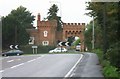


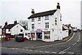
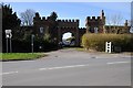
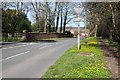
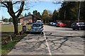
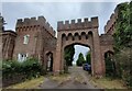
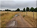
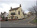

17 photos from this area
Area Information
Key information about the DY10 3RY including its size, population, and administrative classification.
- Area Type
- Postcode
- Area Size
- 45.1 hectares
- Population
- 1184
- Population Density
- 316 people/km²
House Prices in DY10 3RY
48
Properties
£188,672
Average Sold Price
£5,199
Lowest Price
£475,000
Highest Price
Showing 48 properties
| Address | Type | Beds | Baths | Last Sale Price | Last Sale Date | |
|---|---|---|---|---|---|---|
| 12 The Crescent, Cookley, Kidderminster, DY10 3RY | house | 4 | 4 | £475,000 | Dec 2023 | |
| 30 The Crescent, Cookley, Kidderminster, DY10 3RY | Semi-detached | - | - | £300,000 | Oct 2023 | |
| 26 The Crescent, Cookley, Kidderminster, DY10 3RY | Semi-detached | 3 | 2 | £325,000 | Jul 2023 | |
| 8 The Crescent, Cookley, Kidderminster, DY10 3RY | Semi-detached | 3 | 1 | £278,500 | Nov 2018 | |
| 34 The Crescent, Cookley, Kidderminster, DY10 3RY | Semi-detached | 3 | - | £216,000 | Sep 2017 | |
| 35 The Crescent, Cookley, Kidderminster, DY10 3RY | house | 3 | - | £155,200 | Apr 2017 | |
| 1 The Crescent, Cookley, Kidderminster, DY10 3RY | house | - | - | £230,000 | Apr 2017 | |
| 32 The Crescent, Cookley, Kidderminster, DY10 3RY | Semi-detached | 3 | 1 | £216,500 | Feb 2017 | |
| 21 The Crescent, Cookley, Kidderminster, DY10 3RY | house | - | - | £194,000 | Oct 2016 | |
| 16 The Crescent, Cookley, Kidderminster, DY10 3RY | Detached | 5 | - | £315,000 | Sep 2016 |
Page 1 of 5
Energy Efficiency in DY10 3RY
Amenities
Schools
| Rank | School | Type | Entry gender | Ages |
|---|
Explore more schools in this area
Go to Schools tabDemographics
Household Size
One person
most common
Accommodation Type
Houses
most common
Tenure
64
majority
Ethnic Group
White
most common
Religion
N/A
most common
Household Composition
N/A
most common
Age
47
median
Adults (30-64 years)
most common
Household Deprivation
N/A
with no deprivation
NS-SEC
26
in Lower managerial occupations
Explore more demographic insights in this area
Go to Demographics tabPlanning
Planning Constraints
- Flood RiskPremium
- Ramsar Wetland SitesPremium
- Area of Outstanding Natural BeautyPremium
- Protected Nature ReservePremium
- Protected WoodlandPremium