Area Overview for DY10 3NF
Photos of DY10 3NF
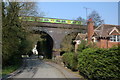
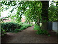
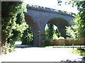
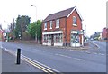
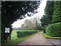
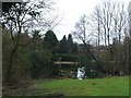
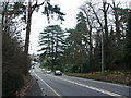
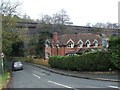
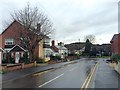
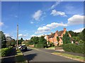
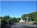
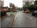
41 photos from this area
Area Information
Key information about the DY10 3NF including its size, population, and administrative classification.
- Area Type
- Postcode
- Area Size
- 9155 m²
- Population
- 1505
- Population Density
- 194 people/km²
House Prices in DY10 3NF
11
Properties
£352,150
Average Sold Price
£130,000
Lowest Price
£625,000
Highest Price
Showing 11 properties
| Address | Type | Beds | Baths | Last Sale Price | Last Sale Date | |
|---|---|---|---|---|---|---|
| 1 Elm Drive, Blakedown, Kidderminster, DY10 3NF | Detached | 4 | 2 | £625,000 | Mar 2025 | |
| 10 Elm Drive, Blakedown, Kidderminster, DY10 3NF | Bungalow | - | - | £500,000 | Dec 2022 | |
| 8 Elm Drive, Blakedown, Kidderminster, DY10 3NF | Detached | 4 | 2 | £475,000 | Jul 2020 | |
| 2 Elm Drive, Blakedown, Kidderminster, DY10 3NF | house | - | - | £324,000 | Sep 2013 | |
| 7 Elm Drive, Blakedown, Kidderminster, DY10 3NF | house | - | - | £295,000 | Jul 2009 | |
| 11 Elm Drive, Blakedown, Kidderminster, DY10 3NF | house | - | - | £310,000 | May 2009 | |
| 4 Elm Drive, Blakedown, Kidderminster, DY10 3NF | Detached | - | - | £375,000 | May 2006 | |
| 3 Elm Drive, Blakedown, Kidderminster, DY10 3NF | Detached | - | - | £318,000 | Apr 2003 | |
| 9 Elm Drive, Blakedown, Kidderminster, DY10 3NF | Detached | - | - | £169,500 | Feb 1999 | |
| 5 Elm Drive, Blakedown, Kidderminster, DY10 3NF | Detached | 4 | 2 | £130,000 | Mar 1997 |
Page 1 of 2
Energy Efficiency in DY10 3NF
Amenities
Schools
| Rank | School | Type | Entry gender | Ages |
|---|
Explore more schools in this area
Go to Schools tabDemographics
Household Size
Family (3-5 people)
most common
Accommodation Type
Houses
most common
Tenure
85
majority
Ethnic Group
White
most common
Religion
N/A
most common
Household Composition
N/A
most common
Age
47
median
Adults (30-64 years)
most common
Household Deprivation
N/A
with no deprivation
NS-SEC
52
in Lower managerial occupations
Explore more demographic insights in this area
Go to Demographics tabPlanning
Planning Constraints
- Flood RiskPremium
- Ramsar Wetland SitesPremium
- Area of Outstanding Natural BeautyPremium
- Protected Nature ReservePremium
- Protected WoodlandPremium