Area Overview for DY10 2TN
Photos of DY10 2TN
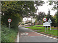
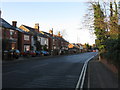

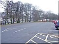
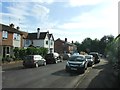
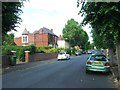
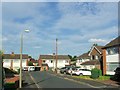
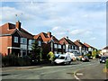
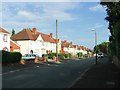
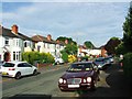
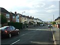
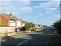
40 photos from this area
Area Information
Key information about the DY10 2TN including its size, population, and administrative classification.
- Area Type
- Postcode
- Area Size
- 9808 m²
- Population
- 1518
- Population Density
- 3170 people/km²
House Prices in DY10 2TN
22
Properties
£176,038
Average Sold Price
£46,000
Lowest Price
£295,000
Highest Price
Showing 22 properties
| Address | Type | Beds | Baths | Last Sale Price | Last Sale Date | |
|---|---|---|---|---|---|---|
| 25 Batham Road, Kidderminster, DY10 2TN | Bungalow | - | - | £295,000 | Aug 2022 | |
| 24 Batham Road, Kidderminster, DY10 2TN | Semi-detached | 3 | 1 | £250,000 | Mar 2021 | |
| 27 Batham Road, Kidderminster, DY10 2TN | house | - | - | £282,000 | Feb 2021 | |
| 17 Batham Road, Kidderminster, DY10 2TN | Detached | 3 | 1 | £225,000 | Mar 2020 | |
| 17A Batham Road, Kidderminster, DY10 2TN | house | - | - | £167,000 | Jul 2014 | |
| 19 Batham Road, Kidderminster, DY10 2TN | Detached | 5 | 1 | £235,000 | Feb 2014 | |
| 32 Batham Road, Kidderminster, DY10 2TN | Detached | 3 | 1 | £157,500 | May 2012 | |
| 21 Batham Road, Kidderminster, DY10 2TN | house | - | - | £207,000 | Aug 2010 | |
| 26 Batham Road, Kidderminster, DY10 2TN | Detached | - | - | £220,000 | Apr 2007 | |
| 31 Batham Road, Kidderminster, DY10 2TN | Semi-detached | - | - | £80,000 | May 2002 |
Page 1 of 3
Energy Efficiency in DY10 2TN
Amenities
Schools
| Rank | School | Type | Entry gender | Ages |
|---|
Explore more schools in this area
Go to Schools tabDemographics
Household Size
Two person
most common
Accommodation Type
Houses
most common
Tenure
87
majority
Ethnic Group
White
most common
Religion
N/A
most common
Household Composition
N/A
most common
Age
47
median
Adults (30-64 years)
most common
Household Deprivation
N/A
with no deprivation
NS-SEC
35
in Lower managerial occupations
Explore more demographic insights in this area
Go to Demographics tabPlanning
Planning Constraints
- Flood RiskPremium
- Ramsar Wetland SitesPremium
- Area of Outstanding Natural BeautyPremium
- Protected Nature ReservePremium
- Protected WoodlandPremium