Area Overview for DE14 2DS
Photos of DE14 2DS
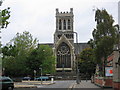
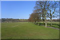
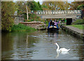
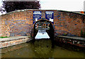
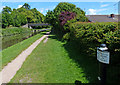
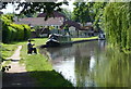
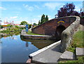
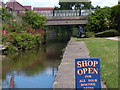
100 photos from this area
Area Information
Key information about the DE14 2DS including its size, population, and administrative classification.
- Area Type
- Postcode
- Area Size
- 1.1 hectares
- Population
- 1891
- Population Density
- 1988 people/km²
House Prices in DE14 2DS
52
Properties
£60,740
Average Sold Price
£18,500
Lowest Price
£165,000
Highest Price
Showing 52 properties
| Address | Type | Beds | Baths | Last Sale Price | Last Sale Date | |
|---|---|---|---|---|---|---|
| 98 Wellington Street, Burton Upon Trent, DE14 2DS | Terraced | 3 | 1 | £80,000 | Sep 2025 | |
| 79 Wellington Street, Burton Upon Trent, DE14 2DS | Terraced | 2 | 1 | £104,000 | Feb 2025 | |
| 71 Wellington Street, Burton Upon Trent, DE14 2DS | house | 4 | 2 | £70,000 | Oct 2024 | |
| 83 Wellington Street, Burton Upon Trent, DE14 2DS | Terraced | 2 | 1 | £80,000 | Apr 2023 | |
| 62 Wellington Street, Burton Upon Trent, DE14 2DS | house | 4 | 2 | £69,000 | Dec 2019 | |
| 52 Wellington Street, Burton Upon Trent, DE14 2DS | Terraced | 2 | 1 | £83,000 | Jun 2019 | |
| 82A Wellington Street, Burton Upon Trent, DE14 2DS | Terraced | 5 | 2 | £165,000 | Nov 2017 | |
| 103 Wellington Street, Burton Upon Trent, DE14 2DS | Terraced | 2 | 1 | £84,000 | Sep 2017 | |
| 59 Wellington Street, Burton Upon Trent, DE14 2DS | Terraced | 3 | 2 | £80,500 | Aug 2016 | |
| 56 Wellington Street, Burton Upon Trent, DE14 2DS | house | 3 | 1 | £60,000 | Feb 2016 |
Page 1 of 6
Energy Efficiency in DE14 2DS
Amenities
Schools
| Rank | School | Type | Entry gender | Ages |
|---|
Explore more schools in this area
Go to Schools tabDemographics
Household Size
One person
most common
Accommodation Type
Houses
most common
Tenure
44
majority
Ethnic Group
White
most common
Religion
N/A
most common
Household Composition
N/A
most common
Age
47
median
Adults (30-64 years)
most common
Household Deprivation
N/A
with no deprivation
NS-SEC
14
in Lower managerial occupations
Explore more demographic insights in this area
Go to Demographics tabPlanning
Planning Constraints
- Flood RiskPremium
- Ramsar Wetland SitesPremium
- Area of Outstanding Natural BeautyPremium
- Protected Nature ReservePremium
- Protected WoodlandPremium