Area Overview for DE14 1RU
Photos of DE14 1RU
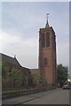
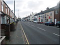
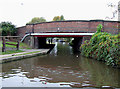
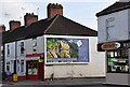

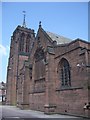
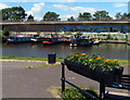
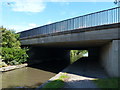
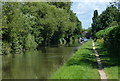
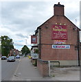
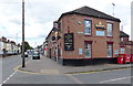
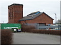
86 photos from this area
Area Information
Key information about the DE14 1RU including its size, population, and administrative classification.
- Area Type
- Postcode
- Area Size
- 1.6 hectares
- Population
- 2343
- Population Density
- 5150 people/km²
House Prices in DE14 1RU
57
Properties
£117,079
Average Sold Price
£17,000
Lowest Price
£198,000
Highest Price
Showing 57 properties
| Address | Type | Beds | Baths | Last Sale Price | Last Sale Date | |
|---|---|---|---|---|---|---|
| 20 Derby Road, Burton Upon Trent, DE14 1RU | house | - | - | £165,000 | Jul 2024 | |
| 23 Derby Road, Burton Upon Trent, DE14 1RU | house | - | - | £135,000 | Oct 2021 | |
| The Loft House, 17 Derby Road, Burton Upon Trent, DE14 1RU | restaurant_cafe | - | - | £180,000 | Mar 2021 | |
| 13 Derby Road, Burton Upon Trent, DE14 1RU | house | 2 | - | £120,000 | Feb 2019 | |
| 30 Derby Road, Burton Upon Trent, DE14 1RU | house | - | - | £158,000 | Jan 2019 | |
| 14 Derby Road, Burton Upon Trent, DE14 1RU | Semi-detached | 2 | 1 | £98,000 | May 2016 | |
| 29 Derby Road, Burton Upon Trent, DE14 1RU | Terraced | 3 | 1 | £130,000 | Mar 2016 | |
| 25 Derby Road, Burton Upon Trent, DE14 1RU | house | - | - | £80,000 | Mar 2016 | |
| 11 Derby Road, Burton Upon Trent, DE14 1RU | Semi-detached | - | - | £150,000 | Mar 2014 | |
| 28 Derby Road, Burton Upon Trent, DE14 1RU | house | - | - | £105,000 | Sep 2011 |
Page 1 of 6
Energy Efficiency in DE14 1RU
Amenities
Schools
| Rank | School | Type | Entry gender | Ages |
|---|
Explore more schools in this area
Go to Schools tabDemographics
Household Size
Family (3-5 people)
most common
Accommodation Type
Houses
most common
Tenure
43
majority
Ethnic Group
White
most common
Religion
N/A
most common
Household Composition
N/A
most common
Age
47
median
Adults (30-64 years)
most common
Household Deprivation
N/A
with no deprivation
NS-SEC
16
in Lower managerial occupations
Explore more demographic insights in this area
Go to Demographics tabPlanning
Planning Constraints
- Flood RiskPremium
- Ramsar Wetland SitesPremium
- Area of Outstanding Natural BeautyPremium
- Protected Nature ReservePremium
- Protected WoodlandPremium