Area Overview for DE13 9JH
Photos of DE13 9JH
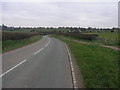
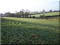
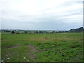
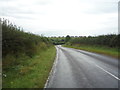
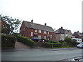
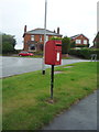
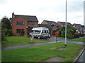
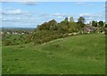
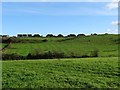
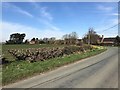
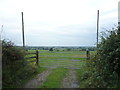
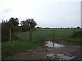
18 photos from this area
Area Information
Key information about the DE13 9JH including its size, population, and administrative classification.
- Area Type
- Postcode
- Area Size
- 6.6 hectares
- Population
- 1535
- Population Density
- 1480 people/km²
House Prices in DE13 9JH
32
Properties
£170,338
Average Sold Price
£58,000
Lowest Price
£311,000
Highest Price
Showing 32 properties
| Address | Type | Beds | Baths | Last Sale Price | Last Sale Date | |
|---|---|---|---|---|---|---|
| 22 Park Lane, Tutbury, DE13 9JH | Semi-detached | 2 | 1 | £311,000 | Sep 2025 | |
| 8 Park Lane, Tutbury, DE13 9JH | house | - | - | £267,000 | Mar 2022 | |
| 40 Park Lane, Tutbury, DE13 9JH | Semi-detached | 3 | 2 | £227,500 | Feb 2021 | |
| 28 Park Lane, Tutbury, DE13 9JH | house | - | - | £177,000 | Jun 2019 | |
| 46 Park Lane, Tutbury, DE13 9JH | Semi-detached | 3 | 2 | £175,001 | Dec 2015 | |
| 14 Park Lane, Tutbury, DE13 9JH | Semi-detached | 2 | 1 | £165,000 | Jul 2015 | |
| 10 Park Lane, Tutbury, DE13 9JH | house | - | - | £200,000 | Jul 2013 | |
| 2B Park Lane, Tutbury, DE13 9JH | Semi-detached | 2 | 1 | £241,500 | Oct 2006 | |
| 2A Park Lane, Tutbury, DE13 9JH | house | - | - | £249,999 | Jul 2006 | |
| 4 Park Lane, Tutbury, DE13 9JH | Semi-detached | - | - | £138,500 | Jun 2005 |
Page 1 of 4
Energy Efficiency in DE13 9JH
Amenities
Schools
| Rank | School | Type | Entry gender | Ages |
|---|
Explore more schools in this area
Go to Schools tabDemographics
Household Size
Two person
most common
Accommodation Type
Houses
most common
Tenure
57
majority
Ethnic Group
White
most common
Religion
N/A
most common
Household Composition
N/A
most common
Age
47
median
Adults (30-64 years)
most common
Household Deprivation
N/A
with no deprivation
NS-SEC
28
in Lower managerial occupations
Explore more demographic insights in this area
Go to Demographics tabPlanning
Planning Constraints
- Flood RiskPremium
- Ramsar Wetland SitesPremium
- Area of Outstanding Natural BeautyPremium
- Protected Nature ReservePremium
- Protected WoodlandPremium