Area Overview for DE13 9BT
Photos of DE13 9BT
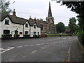
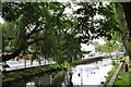
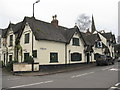
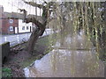
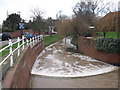
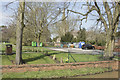
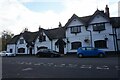
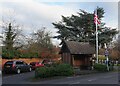
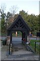
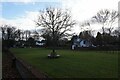
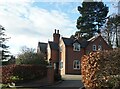
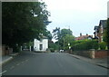
78 photos from this area
Area Information
Key information about the DE13 9BT including its size, population, and administrative classification.
- Area Type
- Postcode
- Area Size
- 3395 m²
- Population
- 1540
- Population Density
- 487 people/km²
House Prices in DE13 9BT
7
Properties
£309,333
Average Sold Price
£160,000
Lowest Price
£530,000
Highest Price
Showing 7 properties
| Address | Type | Beds | Baths | Last Sale Price | Last Sale Date | |
|---|---|---|---|---|---|---|
| Old Hall Cottage, Moseley Mews, Rolleston On Dove, DE13 9BT | Cottage | 4 | 2 | £530,000 | Sep 2021 | |
| Brooklyn Cottage, Moseley Mews, Rolleston On Dove, DE13 9BT | house | 3 | - | £250,000 | Oct 2013 | |
| Brantwood, Moseley Mews, Rolleston On Dove, DE13 9BT | Semi-detached | - | - | £335,000 | Sep 2012 | |
| Arford House, Moseley Mews, Rolleston On Dove, DE13 9BT | Terraced | 3 | - | £296,000 | Jul 2010 | |
| Ormuz Cottage, Moseley Mews, Rolleston On Dove, DE13 9BT | Semi-detached | - | - | £285,000 | Jun 2005 | |
| Rockley House, Moseley Mews, Rolleston On Dove, DE13 9BT | house | - | - | £160,000 | Aug 1996 | |
| Heatherley, Moseley Mews, Rolleston On Dove, DE13 9BT | Bungalow | 3 | 1 | - | - |
Energy Efficiency in DE13 9BT
Amenities
Schools
| Rank | School | Type | Entry gender | Ages |
|---|
Explore more schools in this area
Go to Schools tabDemographics
Household Size
Two person
most common
Accommodation Type
Houses
most common
Tenure
79
majority
Ethnic Group
White
most common
Religion
N/A
most common
Household Composition
N/A
most common
Age
47
median
Adults (30-64 years)
most common
Household Deprivation
N/A
with no deprivation
NS-SEC
39
in Lower managerial occupations
Explore more demographic insights in this area
Go to Demographics tabPlanning
Planning Constraints
- Flood RiskPremium
- Ramsar Wetland SitesPremium
- Area of Outstanding Natural BeautyPremium
- Protected Nature ReservePremium
- Protected WoodlandPremium