Area Overview for DE13 8QB
Photos of DE13 8QB
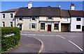
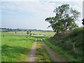
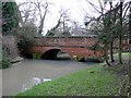
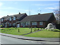
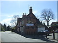
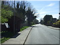
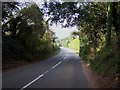
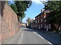
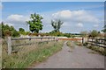
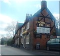
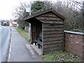
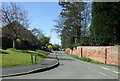
16 photos from this area
Area Information
Key information about the DE13 8QB including its size, population, and administrative classification.
- Area Type
- Postcode
- Area Size
- 7534 m²
- Population
- 1174
- Population Density
- 951 people/km²
House Prices in DE13 8QB
15
Properties
£217,814
Average Sold Price
£68,500
Lowest Price
£325,000
Highest Price
Showing 15 properties
| Address | Type | Beds | Baths | Last Sale Price | Last Sale Date | |
|---|---|---|---|---|---|---|
| 12 Alwyn Road, Yoxall, DE13 8QB | Bungalow | 3 | 1 | £290,000 | Mar 2024 | |
| 11 Alwyn Road, Yoxall, DE13 8QB | Bungalow | - | - | £325,000 | Sep 2021 | |
| 14 Alwyn Road, Yoxall, DE13 8QB | Bungalow | - | - | £275,000 | Oct 2019 | |
| 10 Alwyn Road, Yoxall, DE13 8QB | Bungalow | - | - | £142,500 | Sep 2015 | |
| 15 Alwyn Road, Yoxall, DE13 8QB | Bungalow | 4 | - | £317,000 | Oct 2014 | |
| 2 Alwyn Road, Yoxall, DE13 8QB | Bungalow | 2 | - | £165,000 | Oct 2011 | |
| 3 Alwyn Road, Yoxall, DE13 8QB | Bungalow | - | - | £150,000 | Apr 2010 | |
| 13 Alwyn Road, Yoxall, DE13 8QB | Detached | - | - | £199,950 | Mar 2006 | |
| 9 Alwyn Road, Yoxall, DE13 8QB | Bungalow | 3 | 1 | £273,000 | Aug 2005 | |
| 6 Alwyn Road, Yoxall, DE13 8QB | Bungalow | - | - | £190,000 | Jun 2004 |
Page 1 of 2
Energy Efficiency in DE13 8QB
Amenities
Schools
| Rank | School | Type | Entry gender | Ages |
|---|
Explore more schools in this area
Go to Schools tabDemographics
Household Size
Two person
most common
Accommodation Type
Houses
most common
Tenure
87
majority
Ethnic Group
White
most common
Religion
N/A
most common
Household Composition
N/A
most common
Age
47
median
Adults (30-64 years)
most common
Household Deprivation
N/A
with no deprivation
NS-SEC
42
in Lower managerial occupations
Explore more demographic insights in this area
Go to Demographics tabPlanning
Planning Constraints
- Flood RiskPremium
- Ramsar Wetland SitesPremium
- Area of Outstanding Natural BeautyPremium
- Protected Nature ReservePremium
- Protected WoodlandPremium