Area Overview for DE13 0HY
Photos of DE13 0HY
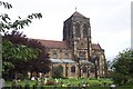
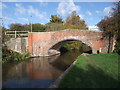
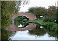
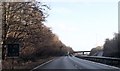
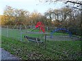
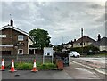
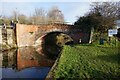
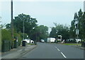
41 photos from this area
Area Information
Key information about the DE13 0HY including its size, population, and administrative classification.
- Area Type
- Postcode
- Area Size
- 1.3 hectares
- Population
- 1716
- Population Density
- 1544 people/km²
House Prices in DE13 0HY
30
Properties
£162,068
Average Sold Price
£49,500
Lowest Price
£236,500
Highest Price
Showing 30 properties
| Address | Type | Beds | Baths | Last Sale Price | Last Sale Date | |
|---|---|---|---|---|---|---|
| 2 Thornewill Drive, Stretton, DE13 0HY | Semi-detached | 3 | 1 | £230,000 | Jun 2025 | |
| 28 Thornewill Drive, Stretton, DE13 0HY | Semi-detached | 3 | 1 | £181,000 | Apr 2024 | |
| 4 Thornewill Drive, Stretton, DE13 0HY | house | - | - | £236,500 | Nov 2022 | |
| 19 Thornewill Drive, Stretton, DE13 0HY | house | - | - | £215,000 | Oct 2022 | |
| 10 Thornewill Drive, Stretton, DE13 0HY | Semi-detached | 3 | 1 | £210,000 | Dec 2021 | |
| 12 Thornewill Drive, Stretton, DE13 0HY | house | - | - | £160,000 | Mar 2021 | |
| 14 Thornewill Drive, Stretton, DE13 0HY | Semi-detached | 3 | 1 | £139,000 | Jul 2015 | |
| 11 Thornewill Drive, Stretton, DE13 0HY | house | 3 | - | £136,000 | Jan 2009 | |
| 24 Thornewill Drive, Stretton, DE13 0HY | Semi-detached | - | - | £150,500 | Jul 2007 | |
| 15 Thornewill Drive, Stretton, DE13 0HY | Semi-detached | - | - | £130,000 | Oct 2006 |
Page 1 of 3
Energy Efficiency in DE13 0HY
Amenities
Schools
| Rank | School | Type | Entry gender | Ages |
|---|
Explore more schools in this area
Go to Schools tabDemographics
Household Size
Two person
most common
Accommodation Type
Houses
most common
Tenure
90
majority
Ethnic Group
White
most common
Religion
N/A
most common
Household Composition
N/A
most common
Age
47
median
Adults (30-64 years)
most common
Household Deprivation
N/A
with no deprivation
NS-SEC
32
in Lower managerial occupations
Explore more demographic insights in this area
Go to Demographics tabPlanning
Planning Constraints
- Flood RiskPremium
- Ramsar Wetland SitesPremium
- Area of Outstanding Natural BeautyPremium
- Protected Nature ReservePremium
- Protected WoodlandPremium