Area Overview for DE13 0DH
Photos of DE13 0DH
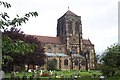
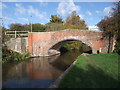
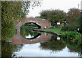
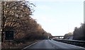
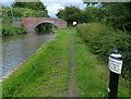
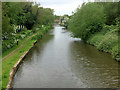
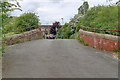
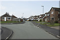
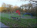
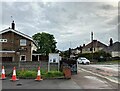
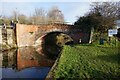
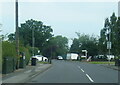
41 photos from this area
Area Information
Key information about the DE13 0DH including its size, population, and administrative classification.
- Area Type
- Postcode
- Area Size
- 1.1 hectares
- Population
- 1818
- Population Density
- 1577 people/km²
House Prices in DE13 0DH
15
Properties
£216,825
Average Sold Price
£73,000
Lowest Price
£350,000
Highest Price
Showing 15 properties
| Address | Type | Beds | Baths | Last Sale Price | Last Sale Date | |
|---|---|---|---|---|---|---|
| Bosula, 3 Dovecliff Road, Stretton, DE13 0DH | house | - | - | £350,000 | Jul 2025 | |
| Cherrywood, 10 Dovecliff Road, Stretton, DE13 0DH | Semi-detached | 3 | 1 | £239,950 | Jun 2017 | |
| Oakhurst, 12 Dovecliff Road, Stretton, DE13 0DH | Semi-detached | - | - | £195,000 | Apr 2012 | |
| Rosedene, 8 Dovecliff Road, Stretton, DE13 0DH | Bungalow | 3 | 1 | £193,000 | Dec 2009 | |
| Carlstead, 2 Dovecliff Road, Stretton, DE13 0DH | Semi-detached | - | - | £250,000 | Mar 2007 | |
| Martinette, 6 Dovecliff Road, Stretton, DE13 0DH | Detached | - | - | £73,000 | Jul 1999 | |
| Annexe, 20 Dovecliff Road, Stretton, DE13 0DH | Flat | - | - | - | - | |
| Chilworth, 4 Dovecliff Road, Stretton, DE13 0DH | Semi-detached | - | - | - | - | |
| Springfield, 18 Dovecliff Road, Stretton, DE13 0DH | Detached | - | - | - | - | |
| 20 Dovecliff Road, Stretton, DE13 0DH | Detached | - | - | - | - |
Page 1 of 2
Energy Efficiency in DE13 0DH
Amenities
Schools
| Rank | School | Type | Entry gender | Ages |
|---|
Explore more schools in this area
Go to Schools tabDemographics
Household Size
Two person
most common
Accommodation Type
Houses
most common
Tenure
81
majority
Ethnic Group
White
most common
Religion
N/A
most common
Household Composition
N/A
most common
Age
47
median
Adults (30-64 years)
most common
Household Deprivation
N/A
with no deprivation
NS-SEC
34
in Lower managerial occupations
Explore more demographic insights in this area
Go to Demographics tabPlanning
Planning Constraints
- Flood RiskPremium
- Ramsar Wetland SitesPremium
- Area of Outstanding Natural BeautyPremium
- Protected Nature ReservePremium
- Protected WoodlandPremium