Area Overview for Darlaston South Ward
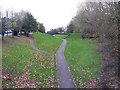
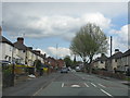
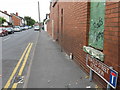
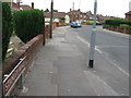
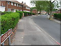
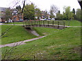
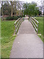
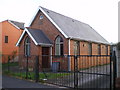
Photos of Darlaston South Ward
Area Information
Darlaston South Ward is a compact district spanning 3.6 square kilometres within Dudley Borough. You will find this area is defined by its small footprint and established character rather than expansive green spaces or rapid suburban expansion. The ward offers a straightforward residential experience where daily life revolves around proximity to local amenities and well-connected transport links. Living in Darlaston South Ward means navigating an environment where every location is relatively close to others due to the limited total area size. The community feels established and settled, reflecting a location that has evolved alongside the broader industrial history of the Black Country. While the specific amenities within this 3.6 km² boundary are not detailed, the ward provides a stable setting for those seeking a home in the heart of the area. There are no planning constraints such as protected woodlands or nature reserves that typically slow down development or limit building projects. This clear status suggests a straightforward approach to property maintenance and potential local improvements for homeowners. When considering homes in Darlaston South Ward, you are buying into a functional, unpretentious locale that values practicality. The area does not carry the weight of major protected status, allowing for a more straightforward residential experience. Whether you are looking for a flat or a house, the ward presents itself as a straightforward option for buyers who prefer established neighbourhoods without the complexities of strict conservation rules. The distinct lack of environmental planning constraints offers peace of mind regarding future changes to the local infrastructure.
- Area Type
- District Borough Unitary Ward
- Area Size
- 3.6 km²
- Population
- Not available
- Population Density
- Not available
Demographics
The population of Darlaston South Ward reflects a settled community with a significant senior demographic. The median age stands at 70 years, indicating that many of your neighbours are likely retirees or older long-term residents. You should expect a neighbourhood where life moves at a slower pace, characterised by a high proportion of older households. This age profile shapes the local demand for services and facilities, such as healthcare providers and accessible leisure activities, which are likely better developed than in younger areas. Home ownership in Darlaston South Ward sits just under half, with 46% of residents owning their property outright or with a mortgage. This figure suggests a balanced market where roughly equal numbers of people either own their homes or rent from private or social landlords. The predominance of both ownership and rental options provides flexibility for buyers entering the market or those seeking tenancy. The data does not specify the breakdown of these groups, but the near-even split indicates a stable mix of investment and owner-occupier residents. There is no indication of specific deprivation levels or ethnic diversity figures in the current records, yet the age data alone paints a clear picture of the ward's social fabric. A community skewed towards age 70 often implies lower demand for high-density family housing and a stronger preference for single-storey accommodation or flats with ground-floor access. Understanding this demographic focus helps clarify who lives in Darlaston South Ward today. The household composition likely supports individuals living alone, couples without children, or widowed residents rather than large families with young children.
Household Size
Accommodation Type
Tenure
Ethnic Group
Religion
Household Composition
Age
Household Deprivation
NS-SEC
Explore more demographic insights in this area
Go to Demographics tabPlanning
Planning Constraints
- Flood RiskPremium
- Ramsar Wetland SitesPremium
- Area of Outstanding Natural BeautyPremium
- Protected Nature ReservePremium
- Protected WoodlandPremium
- Crime RiskPremium