Area Overview for CV9 2LE
Photos of CV9 2LE
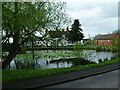
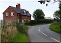
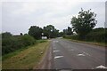
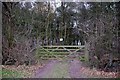
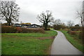
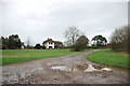
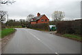
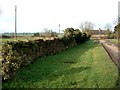
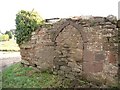
9 photos from this area
Area Information
Key information about the CV9 2LE including its size, population, and administrative classification.
- Area Type
- Postcode
- Area Size
- 12.9 hectares
- Population
- 1116
- Population Density
- 71 people/km²
House Prices in CV9 2LE
18
Properties
£327,300
Average Sold Price
£55,000
Lowest Price
£575,000
Highest Price
Showing 18 properties
| Address | Type | Beds | Baths | Last Sale Price | Last Sale Date | |
|---|---|---|---|---|---|---|
| 89 Main Road, Baxterley, CV9 2LE | house | - | - | £380,000 | Dec 2020 | |
| 93-94 Main Road, Baxterley, CV9 2LE | Detached | 4 | 2 | £575,000 | Mar 2020 | |
| 99 Main Road, Baxterley, CV9 2LE | Semi-detached | 3 | - | £338,000 | Mar 2018 | |
| 100 Main Road, Baxterley, CV9 2LE | Semi-detached | - | - | £330,000 | Dec 2017 | |
| 87 Main Road, Baxterley, CV9 2LE | Detached | 2 | 3 | £499,999 | Jul 2014 | |
| 96 Main Road, Baxterley, CV9 2LE | Semi-detached | 2 | 1 | £230,000 | Mar 2014 | |
| 92 Main Road, Baxterley, CV9 2LE | Detached | 3 | - | £310,000 | Nov 2013 | |
| Rose House, 101A Main Road, Baxterley, CV9 2LE | Detached | 4 | - | £390,000 | Jun 2013 | |
| 95 Main Road, Baxterley, CV9 2LE | house | - | - | £55,000 | Aug 1998 | |
| Laurel Cottage, Main Road, Baxterley, CV9 2LE | Detached | 3 | - | £165,000 | Nov 1996 |
Page 1 of 2
Energy Efficiency in CV9 2LE
Amenities
Schools
| Rank | School | Type | Entry gender | Ages |
|---|
Explore more schools in this area
Go to Schools tabDemographics
Household Size
Two person
most common
Accommodation Type
Houses
most common
Tenure
74
majority
Ethnic Group
White
most common
Religion
N/A
most common
Household Composition
N/A
most common
Age
47
median
Adults (30-64 years)
most common
Household Deprivation
N/A
with no deprivation
NS-SEC
31
in Lower managerial occupations
Explore more demographic insights in this area
Go to Demographics tabPlanning
Planning Constraints
- Flood RiskPremium
- Ramsar Wetland SitesPremium
- Area of Outstanding Natural BeautyPremium
- Protected Nature ReservePremium
- Protected WoodlandPremium