Area Overview for CV9 2AL
Photos of CV9 2AL
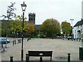
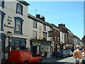
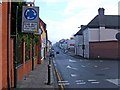
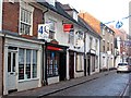

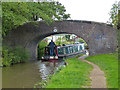
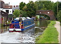
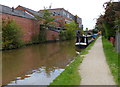
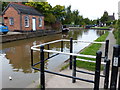
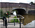
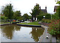
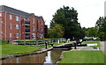
100 photos from this area
Area Information
Key information about the CV9 2AL including its size, population, and administrative classification.
- Area Type
- Postcode
- Area Size
- 1.2 hectares
- Population
- 2189
- Population Density
- 2952 people/km²
House Prices in CV9 2AL
69
Properties
£100,820
Average Sold Price
£21,000
Lowest Price
£235,000
Highest Price
Showing 69 properties
| Address | Type | Beds | Baths | Last Sale Price | Last Sale Date | |
|---|---|---|---|---|---|---|
| 60 Erdington Road, Atherstone, CV9 2AL | Bungalow | 2 | 1 | £235,000 | Apr 2025 | |
| 50 Erdington Road, Atherstone, CV9 2AL | Terraced | 3 | 1 | £156,750 | Feb 2025 | |
| 37 Erdington Road, Atherstone, CV9 2AL | Terraced | 2 | 1 | £115,000 | Oct 2024 | |
| 43 Erdington Road, Atherstone, CV9 2AL | Terraced | 3 | 1 | £170,000 | Jul 2024 | |
| 70 Erdington Road, Atherstone, CV9 2AL | Semi-detached | 2 | 1 | £170,000 | Dec 2023 | |
| 31 Erdington Road, Atherstone, CV9 2AL | Terraced | 2 | 1 | £135,000 | Dec 2023 | |
| 52 Erdington Road, Atherstone, CV9 2AL | Terraced | 3 | 1 | £144,000 | Sep 2023 | |
| 33 Erdington Road, Atherstone, CV9 2AL | Terraced | 3 | 1 | £175,000 | Jan 2023 | |
| 57 Erdington Road, Atherstone, CV9 2AL | Semi-detached | 2 | 1 | £174,000 | Nov 2022 | |
| 26 Erdington Road, Atherstone, CV9 2AL | Terraced | 2 | 1 | £138,000 | Feb 2022 |
Page 1 of 7
Energy Efficiency in CV9 2AL
Amenities
Schools
| Rank | School | Type | Entry gender | Ages |
|---|
Explore more schools in this area
Go to Schools tabDemographics
Household Size
Two person
most common
Accommodation Type
Houses
most common
Tenure
61
majority
Ethnic Group
White
most common
Religion
N/A
most common
Household Composition
N/A
most common
Age
47
median
Adults (30-64 years)
most common
Household Deprivation
N/A
with no deprivation
NS-SEC
22
in Lower managerial occupations
Explore more demographic insights in this area
Go to Demographics tabPlanning
Planning Constraints
- Flood RiskPremium
- Ramsar Wetland SitesPremium
- Area of Outstanding Natural BeautyPremium
- Protected Nature ReservePremium
- Protected WoodlandPremium