Area Overview for CV9 1NG
Photos of CV9 1NG
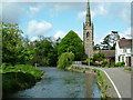
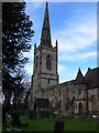
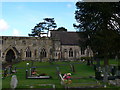
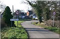
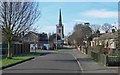
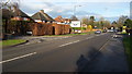
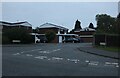
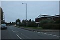
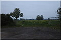
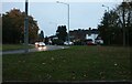

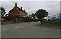
31 photos from this area
Area Information
Key information about the CV9 1NG including its size, population, and administrative classification.
- Area Type
- Postcode
- Area Size
- 1.9 hectares
- Population
- 1218
- Population Density
- 410 people/km²
House Prices in CV9 1NG
24
Properties
£259,233
Average Sold Price
£56,000
Lowest Price
£438,000
Highest Price
Showing 24 properties
| Address | Type | Beds | Baths | Last Sale Price | Last Sale Date | |
|---|---|---|---|---|---|---|
| 42 Harpers Lane, Mancetter, CV9 1NG | Semi-detached | 3 | 2 | £335,000 | Dec 2023 | |
| 26 Harpers Lane, Mancetter, CV9 1NG | Retail | 3 | 2 | £280,000 | Nov 2022 | |
| 30 Harpers Lane, Mancetter, CV9 1NG | house | - | - | £409,000 | Jun 2021 | |
| 36 Harpers Lane, Mancetter, CV9 1NG | Detached | 4 | - | £438,000 | Jan 2021 | |
| 22 Harpers Lane, Mancetter, CV9 1NG | Semi-detached | 3 | 1 | £247,000 | Oct 2018 | |
| 6 Harpers Lane, Mancetter, CV9 1NG | Bungalow | 3 | 1 | £290,000 | Aug 2018 | |
| 34 Harpers Lane, Mancetter, CV9 1NG | Detached | 4 | 1 | £295,000 | Oct 2017 | |
| 12 Harpers Lane, Mancetter, CV9 1NG | Detached | 4 | - | £287,000 | Nov 2015 | |
| 8 Harpers Lane, Mancetter, CV9 1NG | Bungalow | - | - | £205,000 | Sep 2015 | |
| 28 Harpers Lane, Mancetter, CV9 1NG | Detached | 4 | - | £283,500 | Mar 2015 |
Page 1 of 3
Energy Efficiency in CV9 1NG
Amenities
Schools
| Rank | School | Type | Entry gender | Ages |
|---|
Explore more schools in this area
Go to Schools tabDemographics
Household Size
Two person
most common
Accommodation Type
Houses
most common
Tenure
90
majority
Ethnic Group
White
most common
Religion
N/A
most common
Household Composition
N/A
most common
Age
47
median
Adults (30-64 years)
most common
Household Deprivation
N/A
with no deprivation
NS-SEC
32
in Lower managerial occupations
Explore more demographic insights in this area
Go to Demographics tabPlanning
Planning Constraints
- Flood RiskPremium
- Ramsar Wetland SitesPremium
- Area of Outstanding Natural BeautyPremium
- Protected Nature ReservePremium
- Protected WoodlandPremium