Area Overview for CV9 1HW
Photos of CV9 1HW
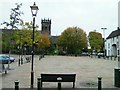
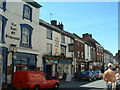
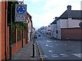
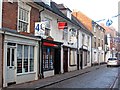
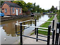
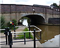
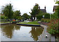
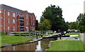
100 photos from this area
Area Information
Key information about the CV9 1HW including its size, population, and administrative classification.
- Area Type
- Postcode
- Area Size
- 9165 m²
- Population
- 2238
- Population Density
- 1544 people/km²
House Prices in CV9 1HW
18
Properties
£193,591
Average Sold Price
£67,000
Lowest Price
£317,000
Highest Price
Showing 18 properties
| Address | Type | Beds | Baths | Last Sale Price | Last Sale Date | |
|---|---|---|---|---|---|---|
| 20 Holte Road, Atherstone, CV9 1HW | Detached | - | - | £106,800 | Mar 2025 | |
| 14 Holte Road, Atherstone, CV9 1HW | Bungalow | - | - | £249,000 | Mar 2024 | |
| 13 Holte Road, Atherstone, CV9 1HW | Bungalow | 2 | 1 | £249,750 | Jul 2023 | |
| 16 Holte Road, Atherstone, CV9 1HW | Bungalow | - | - | £317,000 | Jun 2023 | |
| 12 Holte Road, Atherstone, CV9 1HW | Bungalow | 3 | 2 | £299,950 | Jan 2019 | |
| 23 Holte Road, Atherstone, CV9 1HW | Bungalow | 2 | 2 | £300,000 | Oct 2017 | |
| 18 Holte Road, Atherstone, CV9 1HW | Bungalow | 2 | 1 | £170,000 | Nov 2013 | |
| 22 Holte Road, Atherstone, CV9 1HW | Detached | 3 | 2 | £140,000 | Jun 2011 | |
| 15 Holte Road, Atherstone, CV9 1HW | house | - | - | £135,000 | Mar 2003 | |
| 6 Holte Road, Atherstone, CV9 1HW | Detached | - | - | £95,000 | Oct 2000 |
Page 1 of 2
Energy Efficiency in CV9 1HW
Amenities
Schools
| Rank | School | Type | Entry gender | Ages |
|---|
Explore more schools in this area
Go to Schools tabDemographics
Household Size
Two person
most common
Accommodation Type
Houses
most common
Tenure
75
majority
Ethnic Group
White
most common
Religion
N/A
most common
Household Composition
N/A
most common
Age
47
median
Adults (30-64 years)
most common
Household Deprivation
N/A
with no deprivation
NS-SEC
35
in Lower managerial occupations
Explore more demographic insights in this area
Go to Demographics tabPlanning
Planning Constraints
- Flood RiskPremium
- Ramsar Wetland SitesPremium
- Area of Outstanding Natural BeautyPremium
- Protected Nature ReservePremium
- Protected WoodlandPremium