Area Overview for CV9 1HG
Photos of CV9 1HG
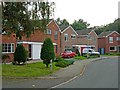

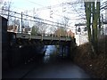
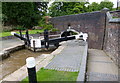
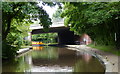
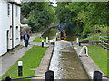
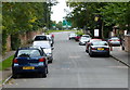
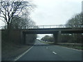
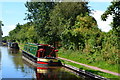
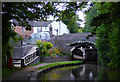

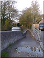
77 photos from this area
Area Information
Key information about the CV9 1HG including its size, population, and administrative classification.
- Area Type
- Postcode
- Area Size
- 1.5 hectares
- Population
- 2238
- Population Density
- 1544 people/km²
House Prices in CV9 1HG
32
Properties
£191,917
Average Sold Price
£73,500
Lowest Price
£335,000
Highest Price
Showing 32 properties
| Address | Type | Beds | Baths | Last Sale Price | Last Sale Date | |
|---|---|---|---|---|---|---|
| 41 Croft Road, Atherstone, CV9 1HG | house | - | - | £211,000 | Aug 2021 | |
| 69 Croft Road, Atherstone, CV9 1HG | Detached | 4 | 2 | £335,000 | Dec 2020 | |
| 47 Croft Road, Atherstone, CV9 1HG | house | - | - | £166,000 | Aug 2020 | |
| 39 Croft Road, Atherstone, CV9 1HG | house | - | - | £196,000 | Aug 2020 | |
| 33 Croft Road, Atherstone, CV9 1HG | Semi-detached | 3 | 1 | £174,950 | May 2019 | |
| 43 Croft Road, Atherstone, CV9 1HG | house | - | - | £235,000 | Jun 2017 | |
| 67 Croft Road, Atherstone, CV9 1HG | Detached | 3 | 1 | £209,950 | Apr 2017 | |
| 84 Croft Road, Atherstone, CV9 1HG | Semi-detached | 3 | 1 | £190,000 | Sep 2016 | |
| 75 Croft Road, Atherstone, CV9 1HG | house | - | - | £264,000 | Nov 2014 | |
| 79 Croft Road, Atherstone, CV9 1HG | Terraced | 3 | 2 | £178,000 | Oct 2014 |
Page 1 of 4
Energy Efficiency in CV9 1HG
Amenities
Schools
| Rank | School | Type | Entry gender | Ages |
|---|
Explore more schools in this area
Go to Schools tabDemographics
Household Size
Two person
most common
Accommodation Type
Houses
most common
Tenure
75
majority
Ethnic Group
White
most common
Religion
N/A
most common
Household Composition
N/A
most common
Age
47
median
Adults (30-64 years)
most common
Household Deprivation
N/A
with no deprivation
NS-SEC
35
in Lower managerial occupations
Explore more demographic insights in this area
Go to Demographics tabPlanning
Planning Constraints
- Flood RiskPremium
- Ramsar Wetland SitesPremium
- Area of Outstanding Natural BeautyPremium
- Protected Nature ReservePremium
- Protected WoodlandPremium