Area Overview for CV8 3HY
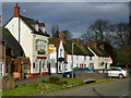
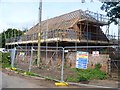
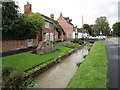
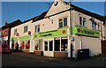
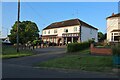
Photos of CV8 3HY
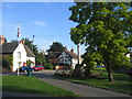
![Main Street cottages [1] in CV8 3HY](https://images.propbar.co.uk/images/geograph/57/76/5776261_120.jpg)
![Main Street cottages [2] in CV8 3HY](https://images.propbar.co.uk/images/geograph/57/76/5776275_120.jpg)
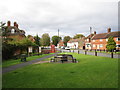
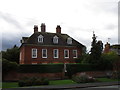
44 photos from this area
Area Information
Key information about the CV8 3HY including its size, population, and administrative classification.
- Area Type
- Postcode
- Area Size
- 4220 m²
- Population
- 1648
- Population Density
- 151 people/km²
House Prices in CV8 3HY
9
Properties
£263,857
Average Sold Price
£190,000
Lowest Price
£370,000
Highest Price
Showing 9 properties
| Address | Type | Beds | Baths | Last Sale Price | Last Sale Date | |
|---|---|---|---|---|---|---|
| 7 Chestnut Grove, Wolston, CV8 3HY | house | - | - | £370,000 | Jul 2025 | |
| 3 Chestnut Grove, Wolston, CV8 3HY | Bungalow | - | - | £261,000 | Dec 2021 | |
| 8 Chestnut Grove, Wolston, CV8 3HY | house | - | - | £295,000 | Apr 2021 | |
| 1 Chestnut Grove, Wolston, CV8 3HY | Semi-detached | - | - | £240,000 | Aug 2017 | |
| 6 Chestnut Grove, Wolston, CV8 3HY | Semi-detached | 3 | 1 | £275,000 | Jul 2017 | |
| 4 Chestnut Grove, Wolston, CV8 3HY | house | - | - | £190,000 | Nov 2011 | |
| 2 Chestnut Grove, Wolston, CV8 3HY | Semi-detached | - | - | £216,000 | Apr 2008 | |
| 9 Chestnut Grove, Wolston, CV8 3HY | Semi-detached | - | - | - | - | |
| 5 Chestnut Grove, Wolston, CV8 3HY | Semi-detached | 3 | 1 | - | - |
Energy Efficiency in CV8 3HY
Amenities
Schools
| Rank | School | Type | Entry gender | Ages |
|---|
Explore more schools in this area
Go to Schools tabDemographics
Household Size
Two person
most common
Accommodation Type
Houses
most common
Tenure
69
majority
Ethnic Group
White
most common
Religion
N/A
most common
Household Composition
N/A
most common
Age
47
median
Adults (30-64 years)
most common
Household Deprivation
N/A
with no deprivation
NS-SEC
37
in Lower managerial occupations
Explore more demographic insights in this area
Go to Demographics tabPlanning
Planning Constraints
- Flood RiskPremium
- Ramsar Wetland SitesPremium
- Area of Outstanding Natural BeautyPremium
- Protected Nature ReservePremium
- Protected WoodlandPremium