Area Overview for CV8 2QB
Photos of CV8 2QB
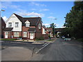
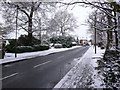
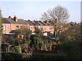
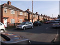
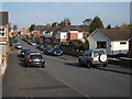
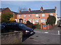
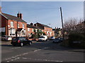
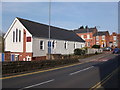
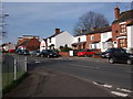
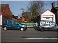
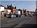
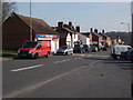
100 photos from this area
Area Information
Key information about the CV8 2QB including its size, population, and administrative classification.
- Area Type
- Postcode
- Area Size
- 7146 m²
- Population
- 2028
- Population Density
- 1792 people/km²
House Prices in CV8 2QB
36
Properties
£156,424
Average Sold Price
£4,100
Lowest Price
£295,000
Highest Price
Showing 36 properties
| Address | Type | Beds | Baths | Last Sale Price | Last Sale Date | |
|---|---|---|---|---|---|---|
| 37 Alpine Court, Kenilworth, CV8 2QB | Flat | 2 | 1 | £188,500 | May 2024 | |
| 18 Alpine Court, Kenilworth, CV8 2QB | Terraced | 3 | 2 | £210,000 | Mar 2024 | |
| 9 Alpine Court, Kenilworth, CV8 2QB | Flat | 2 | 1 | £188,000 | Sep 2023 | |
| 21 Alpine Court, Kenilworth, CV8 2QB | Semi-detached | 3 | 1 | £260,000 | Sep 2023 | |
| 31 Alpine Court, Kenilworth, CV8 2QB | Terraced | 3 | 2 | £295,000 | Feb 2022 | |
| 19 Alpine Court, Kenilworth, CV8 2QB | house | - | - | £290,000 | Aug 2021 | |
| 13 Alpine Court, Kenilworth, CV8 2QB | Terraced | - | - | £4,100 | Nov 2019 | |
| 16 Alpine Court, Kenilworth, CV8 2QB | Terraced | 3 | - | £170,000 | Aug 2019 | |
| 10 Alpine Court, Kenilworth, CV8 2QB | Flat | 2 | 1 | £190,000 | Aug 2018 | |
| 35 Alpine Court, Kenilworth, CV8 2QB | Flat | - | - | £163,250 | Oct 2016 |
Page 1 of 4
Energy Efficiency in CV8 2QB
Amenities
Schools
| Rank | School | Type | Entry gender | Ages |
|---|
Explore more schools in this area
Go to Schools tabDemographics
Household Size
Family (3-5 people)
most common
Accommodation Type
Houses
most common
Tenure
65
majority
Ethnic Group
White
most common
Religion
N/A
most common
Household Composition
N/A
most common
Age
47
median
Adults (30-64 years)
most common
Household Deprivation
N/A
with no deprivation
NS-SEC
42
in Lower managerial occupations
Explore more demographic insights in this area
Go to Demographics tabPlanning
Planning Constraints
- Flood RiskPremium
- Ramsar Wetland SitesPremium
- Area of Outstanding Natural BeautyPremium
- Protected Nature ReservePremium
- Protected WoodlandPremium