Area Overview for CV8 2FW
Photos of CV8 2FW
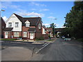
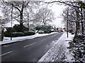
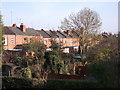
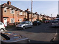
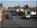
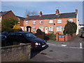
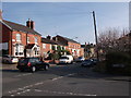
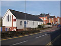
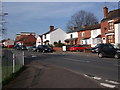
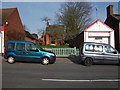
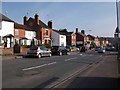
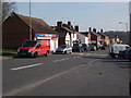
100 photos from this area
Area Information
Key information about the CV8 2FW including its size, population, and administrative classification.
- Area Type
- Postcode
- Area Size
- 1.1 hectares
- Population
- 1492
- Population Density
- 6184 people/km²
House Prices in CV8 2FW
31
Properties
£198,380
Average Sold Price
£122,000
Lowest Price
£334,065
Highest Price
Showing 31 properties
| Address | Type | Beds | Baths | Last Sale Price | Last Sale Date | |
|---|---|---|---|---|---|---|
| 16 Albion Street, Kenilworth, CV8 2FW | house | - | - | £334,065 | Jun 2023 | |
| 24 Albion Street, Kenilworth, CV8 2FW | Retail | 3 | 1 | £295,000 | Feb 2023 | |
| 36 Albion Street, Kenilworth, CV8 2FW | Retail | 3 | 1 | £317,000 | Oct 2022 | |
| 30 Albion Street, Kenilworth, CV8 2FW | house | - | - | £166,000 | Jul 2014 | |
| 12 Albion Street, Kenilworth, CV8 2FW | Semi-detached | 3 | 1 | £235,000 | Apr 2014 | |
| 50 Albion Street, Kenilworth, CV8 2FW | Semi-detached | 3 | 2 | £245,000 | Dec 2013 | |
| 42 Albion Street, Kenilworth, CV8 2FW | house | 3 | 1 | £206,000 | Jun 2013 | |
| 28 Albion Street, Kenilworth, CV8 2FW | house | 3 | - | £161,000 | Apr 2013 | |
| 46 Albion Street, Kenilworth, CV8 2FW | Terraced | 3 | 1 | £183,500 | Aug 2011 | |
| 26 Albion Street, Kenilworth, CV8 2FW | house | 4 | - | £202,000 | Aug 2010 |
Page 1 of 4
Energy Efficiency in CV8 2FW
Amenities
Schools
| Rank | School | Type | Entry gender | Ages |
|---|
Explore more schools in this area
Go to Schools tabDemographics
Household Size
One person
most common
Accommodation Type
Houses
most common
Tenure
61
majority
Ethnic Group
White
most common
Religion
N/A
most common
Household Composition
N/A
most common
Age
47
median
Adults (30-64 years)
most common
Household Deprivation
N/A
with no deprivation
NS-SEC
42
in Lower managerial occupations
Explore more demographic insights in this area
Go to Demographics tabPlanning
Planning Constraints
- Flood RiskPremium
- Ramsar Wetland SitesPremium
- Area of Outstanding Natural BeautyPremium
- Protected Nature ReservePremium
- Protected WoodlandPremium