Area Overview for CV8 1FG
Photos of CV8 1FG
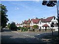


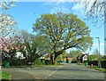
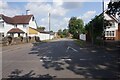
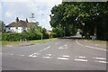
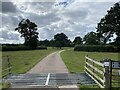
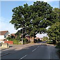
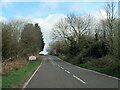
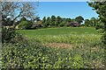
21 photos from this area
Area Information
Key information about the CV8 1FG including its size, population, and administrative classification.
- Area Type
- Postcode
- Area Size
- 3.1 hectares
- Population
- 1481
- Population Density
- 1900 people/km²
House Prices in CV8 1FG
35
Properties
£328,540
Average Sold Price
£120,000
Lowest Price
£479,950
Highest Price
Showing 35 properties
| Address | Type | Beds | Baths | Last Sale Price | Last Sale Date | |
|---|---|---|---|---|---|---|
| 11 Towers Close, Kenilworth, CV8 1FG | Semi-detached | 3 | 1 | £479,950 | Dec 2023 | |
| 10 Towers Close, Kenilworth, CV8 1FG | house | - | - | £450,000 | May 2023 | |
| 39 Towers Close, Kenilworth, CV8 1FG | house | - | - | £470,000 | Dec 2021 | |
| 37 Towers Close, Kenilworth, CV8 1FG | house | - | - | £450,000 | Sep 2021 | |
| Recoleta House, 41 Towers Close, Kenilworth, CV8 1FG | house | - | - | £364,100 | Mar 2021 | |
| 25 Towers Close, Kenilworth, CV8 1FG | house | - | - | £420,000 | Dec 2020 | |
| 2 Towers Close, Kenilworth, CV8 1FG | house | - | - | £412,000 | Nov 2020 | |
| 33 Towers Close, Kenilworth, CV8 1FG | Semi-detached | 3 | 2 | £435,000 | Aug 2020 | |
| 19 Towers Close, Kenilworth, CV8 1FG | Semi-detached | 3 | 1 | £366,000 | Aug 2020 | |
| 29 Towers Close, Kenilworth, CV8 1FG | Semi-detached | 4 | 1 | £395,000 | Dec 2019 |
Page 1 of 4
Energy Efficiency in CV8 1FG
Amenities
Schools
| Rank | School | Type | Entry gender | Ages |
|---|
Explore more schools in this area
Go to Schools tabDemographics
Household Size
Two person
most common
Accommodation Type
Houses
most common
Tenure
96
majority
Ethnic Group
White
most common
Religion
N/A
most common
Household Composition
N/A
most common
Age
47
median
Elderly (65+ years)
most common
Household Deprivation
N/A
with no deprivation
NS-SEC
56
in Lower managerial occupations
Explore more demographic insights in this area
Go to Demographics tabPlanning
Planning Constraints
- Flood RiskPremium
- Ramsar Wetland SitesPremium
- Area of Outstanding Natural BeautyPremium
- Protected Nature ReservePremium
- Protected WoodlandPremium