Area Overview for CV7 8DD
Photos of CV7 8DD
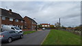
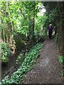
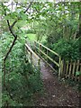
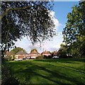
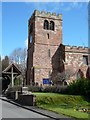
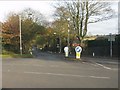
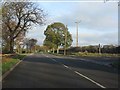
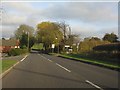
19 photos from this area
Area Information
Key information about the CV7 8DD including its size, population, and administrative classification.
- Area Type
- Postcode
- Area Size
- 38.5 hectares
- Population
- 1728
- Population Density
- 82 people/km²
House Prices in CV7 8DD
40
Properties
£256,222
Average Sold Price
£47,500
Lowest Price
£530,000
Highest Price
Showing 40 properties
| Address | Type | Beds | Baths | Last Sale Price | Last Sale Date | |
|---|---|---|---|---|---|---|
| 1 Sandy Lane, Fillongley, CV7 8DD | Semi-detached | 2 | 1 | £395,000 | Apr 2025 | |
| 2 Sandy Lane, Fillongley, CV7 8DD | Terraced | 2 | 1 | £271,000 | Nov 2024 | |
| 4 Sandy Lane, Fillongley, CV7 8DD | Semi-detached | 2 | 1 | £200,000 | Jul 2023 | |
| 14 Sandy Lane, Fillongley, CV7 8DD | house | - | - | £295,000 | Jun 2021 | |
| 19 Sandy Lane, Fillongley, CV7 8DD | house | 2 | 1 | £247,000 | Apr 2021 | |
| Rosemead, Sandy Lane, Fillongley, CV7 8DD | house | - | - | £380,000 | Oct 2019 | |
| Ivy House, Sandy Lane, Fillongley, CV7 8DD | Detached | 5 | - | £530,000 | Dec 2016 | |
| Willsden, Sandy Lane, Fillongley, CV7 8DD | Detached | - | - | £325,000 | Jul 2016 | |
| Hillcrest, Sandy Lane, Fillongley, CV7 8DD | house | - | - | £345,000 | Nov 2015 | |
| Agricultural Cottage, Sandy Lane, Fillongley, CV7 8DD | house | - | - | £300,000 | Jul 2015 |
Page 1 of 4
Energy Efficiency in CV7 8DD
Amenities
Schools
| Rank | School | Type | Entry gender | Ages |
|---|
Explore more schools in this area
Go to Schools tabDemographics
Household Size
Two person
most common
Accommodation Type
Houses
most common
Tenure
84
majority
Ethnic Group
White
most common
Religion
N/A
most common
Household Composition
N/A
most common
Age
47
median
Adults (30-64 years)
most common
Household Deprivation
N/A
with no deprivation
NS-SEC
38
in Lower managerial occupations
Explore more demographic insights in this area
Go to Demographics tabPlanning
Planning Constraints
- Flood RiskPremium
- Ramsar Wetland SitesPremium
- Area of Outstanding Natural BeautyPremium
- Protected Nature ReservePremium
- Protected WoodlandPremium