Area Overview for CV7 7GX
Photos of CV7 7GX
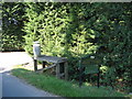
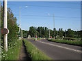
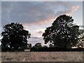
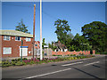
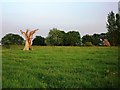


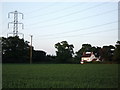
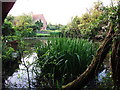
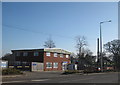

15 photos from this area
Area Information
Key information about the CV7 7GX including its size, population, and administrative classification.
- Area Type
- Postcode
- Area Size
- 62.5 hectares
- Population
- 1880
- Population Density
- 237 people/km²
House Prices in CV7 7GX
33
Properties
£697,000
Average Sold Price
£345,000
Lowest Price
£1,550,000
Highest Price
Showing 33 properties
| Address | Type | Beds | Baths | Last Sale Price | Last Sale Date | |
|---|---|---|---|---|---|---|
| The Retreat, Hob Lane, Burton Green, Solihull, CV7 7GX | Detached | 4 | 3 | £762,500 | Sep 2024 | |
| Hobgoblins, Hob Lane, Burton Green, Solihull, CV7 7GX | Detached | 5 | 7 | £1,550,000 | Jul 2024 | |
| Newburn House, Hob Lane, Burton Green, Solihull, CV7 7GX | house | 3 | 2 | £542,500 | Dec 2019 | |
| The Willows, Hob Lane, Burton Green, Solihull, CV7 7GX | Detached | 4 | 3 | £660,000 | Jan 2018 | |
| Shiloh, Hob Lane, Burton Green, Solihull, CV7 7GX | Detached | 4 | - | £470,000 | Apr 2016 | |
| The Old Granary, Hob Lane, Burton Green, Solihull, CV7 7GX | Semi-detached | 5 | 3 | £850,000 | Mar 2016 | |
| White Cottage, Hob Lane, Burton Green, Solihull, CV7 7GX | Detached | 5 | 2 | £345,000 | Oct 2015 | |
| New Home, Hob Lane, Burton Green, Solihull, CV7 7GX | Semi-detached | - | - | £350,000 | Dec 2014 | |
| The Neuk, Hob Lane, Burton Green, Solihull, CV7 7GX | Detached | 3 | 3 | £743,000 | Feb 2014 | |
| Fern Cottage, Hob Lane, Burton Green, Solihull, CV7 7GX | Detached | 5 | 3 | - | - |
Page 1 of 4
Energy Efficiency in CV7 7GX
Amenities
Schools
| Rank | School | Type | Entry gender | Ages |
|---|
Explore more schools in this area
Go to Schools tabDemographics
Household Size
Family (3-5 people)
most common
Accommodation Type
Houses
most common
Tenure
87
majority
Ethnic Group
White
most common
Religion
N/A
most common
Household Composition
N/A
most common
Age
47
median
Adults (30-64 years)
most common
Household Deprivation
N/A
with no deprivation
NS-SEC
50
in Lower managerial occupations
Explore more demographic insights in this area
Go to Demographics tabPlanning
Planning Constraints
- Flood RiskPremium
- Ramsar Wetland SitesPremium
- Area of Outstanding Natural BeautyPremium
- Protected Nature ReservePremium
- Protected WoodlandPremium