Area Overview for CV6 7GD
Photos of CV6 7GD
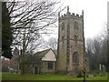
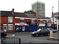
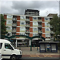
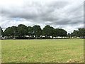
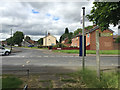
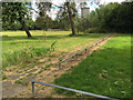
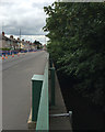
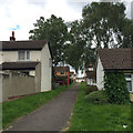

78 photos from this area
Area Information
Key information about the CV6 7GD including its size, population, and administrative classification.
- Area Type
- Postcode
- Area Size
- 9805 m²
- Population
- 1525
- Population Density
- 6127 people/km²
House Prices in CV6 7GD
32
Properties
£109,717
Average Sold Price
£83,000
Lowest Price
£158,500
Highest Price
Showing 32 properties
| Address | Type | Beds | Baths | Last Sale Price | Last Sale Date | |
|---|---|---|---|---|---|---|
| 53 Armfield Street, Coventry, CV6 7GD | Semi-detached | 2 | 1 | £158,500 | Jul 2025 | |
| 61 Armfield Street, Coventry, CV6 7GD | house | - | - | £130,000 | May 2022 | |
| 25 Armfield Street, Coventry, CV6 7GD | Terraced | 3 | 1 | £149,000 | Sep 2017 | |
| 39 Armfield Street, Coventry, CV6 7GD | Terraced | 3 | - | £111,000 | Feb 2015 | |
| 47 Armfield Street, Coventry, CV6 7GD | house | - | - | £95,000 | Jan 2010 | |
| 31 Armfield Street, Coventry, CV6 7GD | house | - | - | £85,000 | Apr 2009 | |
| 51 Armfield Street, Coventry, CV6 7GD | Semi-detached | - | - | £86,000 | Jul 2005 | |
| 13 Armfield Street, Coventry, CV6 7GD | Terraced | - | - | £83,000 | Oct 2004 | |
| 59 Armfield Street, Coventry, CV6 7GD | house | - | - | £89,950 | Sep 2004 | |
| 19 Armfield Street, Coventry, CV6 7GD | Semi-detached | 2 | 1 | - | - |
Page 1 of 4
Energy Efficiency in CV6 7GD
Amenities
Schools
| Rank | School | Type | Entry gender | Ages |
|---|
Explore more schools in this area
Go to Schools tabDemographics
Household Size
Family (3-5 people)
most common
Accommodation Type
Houses
most common
Tenure
50
majority
Ethnic Group
White
most common
Religion
N/A
most common
Household Composition
N/A
most common
Age
47
median
Adults (30-64 years)
most common
Household Deprivation
N/A
with no deprivation
NS-SEC
19
in Lower managerial occupations
Explore more demographic insights in this area
Go to Demographics tabPlanning
Planning Constraints
- Flood RiskPremium
- Ramsar Wetland SitesPremium
- Area of Outstanding Natural BeautyPremium
- Protected Nature ReservePremium
- Protected WoodlandPremium