Area Overview for CV6 6GA
Photos of CV6 6GA
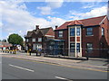
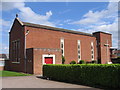

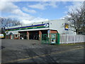
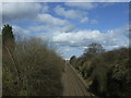
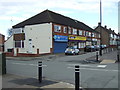
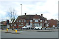
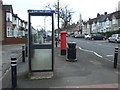
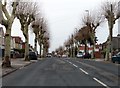
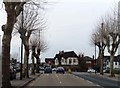
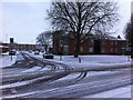
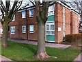
54 photos from this area
Area Information
Key information about the CV6 6GA including its size, population, and administrative classification.
- Area Type
- Postcode
- Area Size
- 1.1 hectares
- Population
- 1883
- Population Density
- 6729 people/km²
House Prices in CV6 6GA
26
Properties
£139,215
Average Sold Price
£70,000
Lowest Price
£240,000
Highest Price
Showing 26 properties
| Address | Type | Beds | Baths | Last Sale Price | Last Sale Date | |
|---|---|---|---|---|---|---|
| 334 Lythalls Lane, Coventry, CV6 6GA | Semi-detached | 3 | 1 | £205,200 | Dec 2020 | |
| 310 Lythalls Lane, Coventry, CV6 6GA | house | - | - | £240,000 | Nov 2020 | |
| 344 Lythalls Lane, Coventry, CV6 6GA | Semi-detached | 2 | 1 | £176,795 | Sep 2020 | |
| 312 Lythalls Lane, Coventry, CV6 6GA | house | - | - | £230,000 | Aug 2020 | |
| 360 Lythalls Lane, Coventry, CV6 6GA | house | - | - | £115,000 | Sep 2016 | |
| 328 Lythalls Lane, Coventry, CV6 6GA | Semi-detached | 3 | 1 | £174,500 | Jun 2016 | |
| 362 Lythalls Lane, Coventry, CV6 6GA | house | - | - | £120,000 | Apr 2014 | |
| 352 Lythalls Lane, Coventry, CV6 6GA | Terraced | 3 | 2 | £105,000 | May 2013 | |
| 348 Lythalls Lane, Coventry, CV6 6GA | house | 3 | - | £149,000 | Aug 2012 | |
| 358 Lythalls Lane, Coventry, CV6 6GA | house | - | - | £117,000 | Sep 2007 |
Page 1 of 3
Energy Efficiency in CV6 6GA
Amenities
Schools
| Rank | School | Type | Entry gender | Ages |
|---|
Explore more schools in this area
Go to Schools tabDemographics
Household Size
Family (3-5 people)
most common
Accommodation Type
Houses
most common
Tenure
66
majority
Ethnic Group
White
most common
Religion
N/A
most common
Household Composition
N/A
most common
Age
47
median
Adults (30-64 years)
most common
Household Deprivation
N/A
with no deprivation
NS-SEC
19
in Lower managerial occupations
Explore more demographic insights in this area
Go to Demographics tabPlanning
Planning Constraints
- Flood RiskPremium
- Ramsar Wetland SitesPremium
- Area of Outstanding Natural BeautyPremium
- Protected Nature ReservePremium
- Protected WoodlandPremium