Area Overview for CV6 5RU
Photos of CV6 5RU
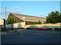
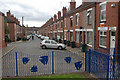
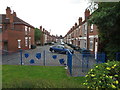
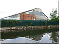

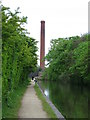


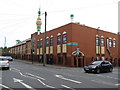
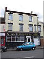
100 photos from this area
Area Information
Key information about the CV6 5RU including its size, population, and administrative classification.
- Area Type
- Postcode
- Area Size
- 1.6 hectares
- Population
- 1658
- Population Density
- 5846 people/km²
House Prices in CV6 5RU
36
Properties
£257,296
Average Sold Price
£171,000
Lowest Price
£340,000
Highest Price
Showing 36 properties
| Address | Type | Beds | Baths | Last Sale Price | Last Sale Date | |
|---|---|---|---|---|---|---|
| 76 Paragon Way, Coventry, CV6 5RU | Terraced | 2 | 1 | £171,000 | Dec 2022 | |
| 100 Paragon Way, Coventry, CV6 5RU | house | - | - | £251,000 | Dec 2022 | |
| 78 Paragon Way, Coventry, CV6 5RU | house | - | - | £180,000 | Dec 2022 | |
| 80 Paragon Way, Coventry, CV6 5RU | house | - | - | £180,000 | Dec 2022 | |
| 87 Paragon Way, Coventry, CV6 5RU | Detached | 4 | 2 | £340,000 | Nov 2022 | |
| 89 Paragon Way, Coventry, CV6 5RU | house | - | - | £265,000 | Nov 2022 | |
| 91 Paragon Way, Coventry, CV6 5RU | house | - | - | £265,000 | Nov 2022 | |
| 84 Paragon Way, Coventry, CV6 5RU | Detached | 3 | 2 | £260,000 | Oct 2022 | |
| 83 Paragon Way, Coventry, CV6 5RU | house | - | - | £245,000 | Oct 2022 | |
| 92 Paragon Way, Coventry, CV6 5RU | house | - | - | £252,000 | Sep 2022 |
Page 1 of 4
Energy Efficiency in CV6 5RU
Amenities
Schools
| Rank | School | Type | Entry gender | Ages |
|---|
Explore more schools in this area
Go to Schools tabDemographics
Household Size
Family (3-5 people)
most common
Accommodation Type
Houses
most common
Tenure
49
majority
Ethnic Group
asian_total
most common
Religion
N/A
most common
Household Composition
N/A
most common
Age
22
median
Adults (30-64 years)
most common
Household Deprivation
N/A
with no deprivation
NS-SEC
30
in Lower managerial occupations
Explore more demographic insights in this area
Go to Demographics tabPlanning
Planning Constraints
- Flood RiskPremium
- Ramsar Wetland SitesPremium
- Area of Outstanding Natural BeautyPremium
- Protected Nature ReservePremium
- Protected WoodlandPremium