Area Overview for CV6 5LW
Photos of CV6 5LW
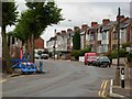
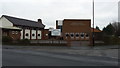
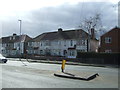
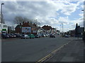

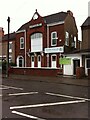
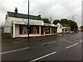
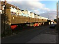

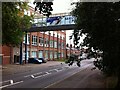
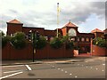
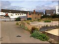
27 photos from this area
Area Information
Key information about the CV6 5LW including its size, population, and administrative classification.
- Area Type
- Postcode
- Area Size
- 1.6 hectares
- Population
- 1862
- Population Density
- 9769 people/km²
House Prices in CV6 5LW
43
Properties
£105,867
Average Sold Price
£36,000
Lowest Price
£185,000
Highest Price
Showing 43 properties
| Address | Type | Beds | Baths | Last Sale Price | Last Sale Date | |
|---|---|---|---|---|---|---|
| 17 Durbar Avenue, Coventry, CV6 5LW | house | - | - | £140,000 | Mar 2023 | |
| 65 Durbar Avenue, Coventry, CV6 5LW | house | - | - | £130,000 | Sep 2021 | |
| 91 Durbar Avenue, Coventry, CV6 5LW | Terraced | 3 | 1 | £185,000 | Jul 2020 | |
| 15 Durbar Avenue, Coventry, CV6 5LW | Terraced | 3 | 1 | £145,000 | Mar 2020 | |
| 23 Durbar Avenue, Coventry, CV6 5LW | Terraced | 3 | 2 | £126,000 | Apr 2017 | |
| 21 Durbar Avenue, Coventry, CV6 5LW | Terraced | 3 | 1 | £135,000 | Jun 2016 | |
| 67 Durbar Avenue, Coventry, CV6 5LW | Terraced | 3 | - | £110,000 | Dec 2013 | |
| 49 Durbar Avenue, Coventry, CV6 5LW | house | - | - | £105,000 | Jul 2011 | |
| 63 Durbar Avenue, Coventry, CV6 5LW | house | - | - | £125,000 | Apr 2011 | |
| 87 Durbar Avenue, Coventry, CV6 5LW | Terraced | - | - | £92,500 | Sep 2010 |
Page 1 of 5
Energy Efficiency in CV6 5LW
Amenities
Schools
| Rank | School | Type | Entry gender | Ages |
|---|
Explore more schools in this area
Go to Schools tabDemographics
Household Size
Family (3-5 people)
most common
Accommodation Type
Houses
most common
Tenure
52
majority
Ethnic Group
asian_total
most common
Religion
N/A
most common
Household Composition
N/A
most common
Age
47
median
Adults (30-64 years)
most common
Household Deprivation
N/A
with no deprivation
NS-SEC
13
in Lower managerial occupations
Explore more demographic insights in this area
Go to Demographics tabPlanning
Planning Constraints
- Flood RiskPremium
- Ramsar Wetland SitesPremium
- Area of Outstanding Natural BeautyPremium
- Protected Nature ReservePremium
- Protected WoodlandPremium